-
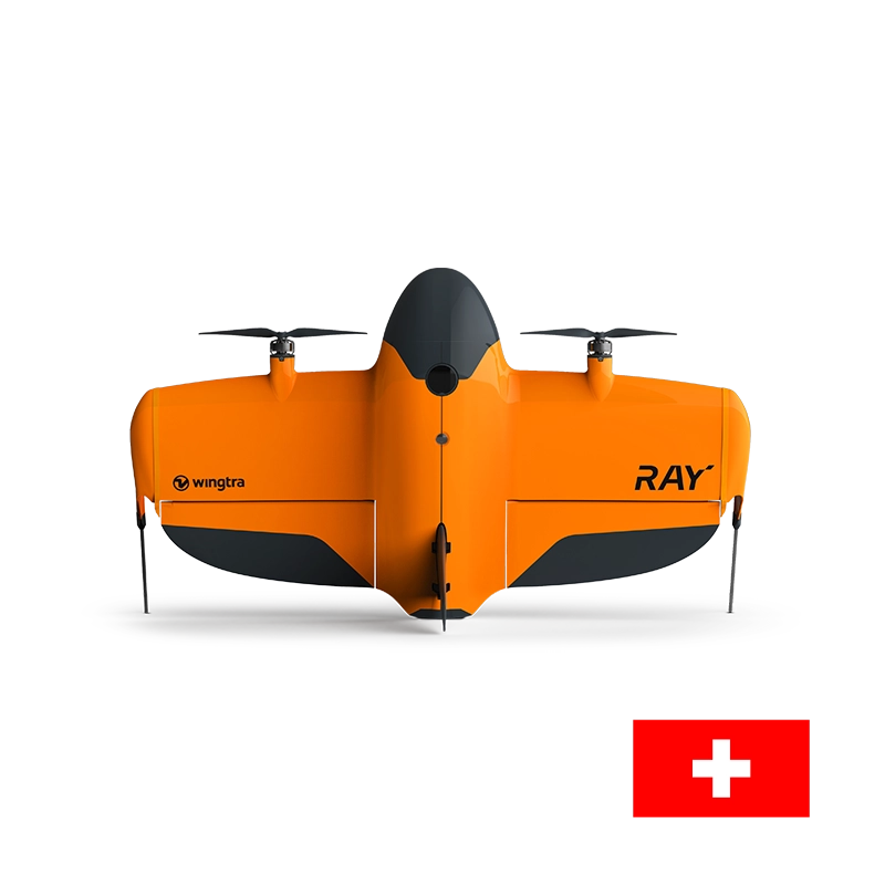
The WingtraRAY is Wingtra's next-generation, industrial fixed-wing VTOL (Vertical Take-Off and Landing) mapping drone. Positioned as the successor built to push past the limits of…
-
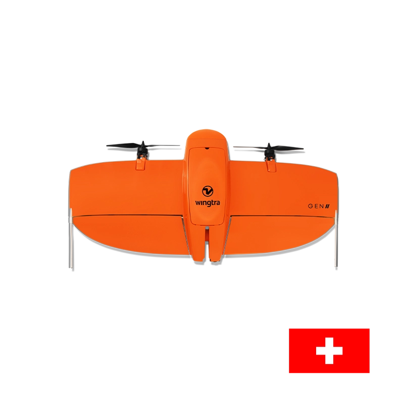
The WingtraOne GEN II is a high-end, industrial vertical take-off and landing (VTOL) fixed-wing drone engineered specifically for large-scale aerial surveying, mapping, and GIS data…
-
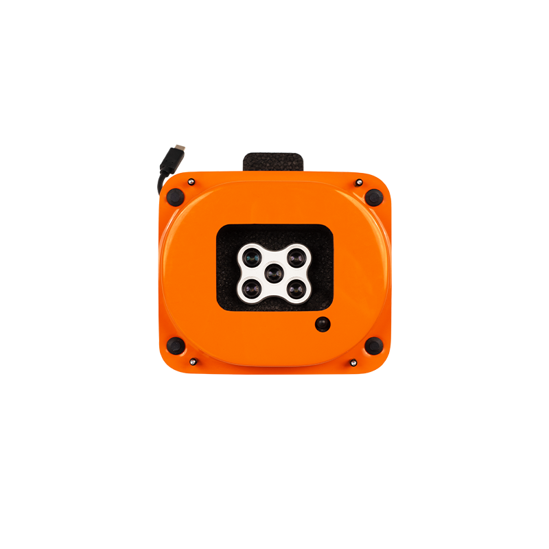
The MicaSense RedEdge-P multispectral camera captures five narrow spectral bands and RGB in one flight. Use the imagery to create vegetation indices and detailed maps…
-
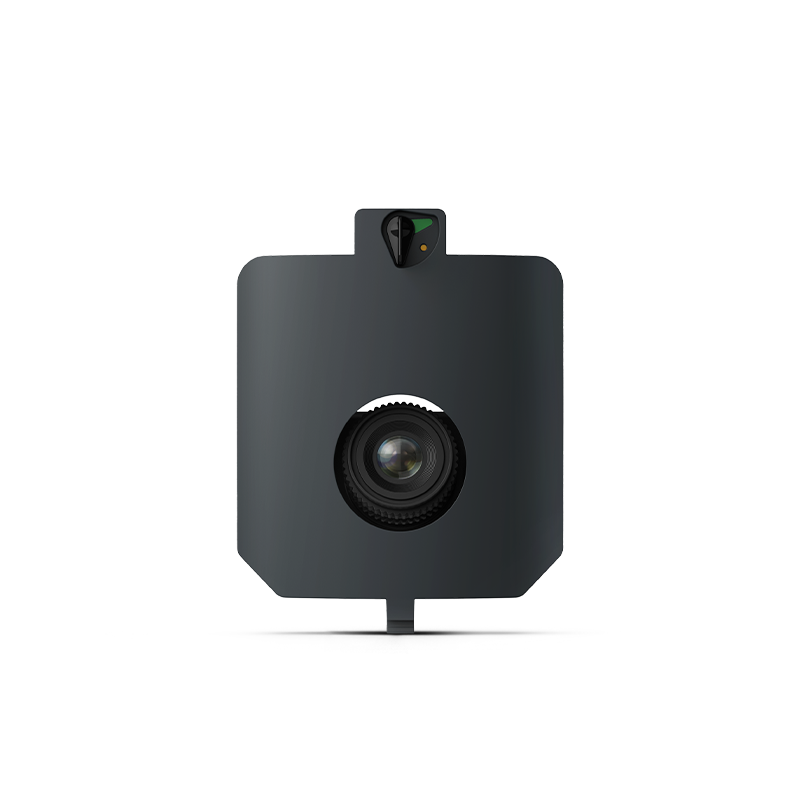
The Wingtra MAP61 is a 61-megapixel full-frame aerial mapping camera designed for the WingtraRAY drone. Its wide-angle, oblique camera configuration is optimized for large-area mapping…
-
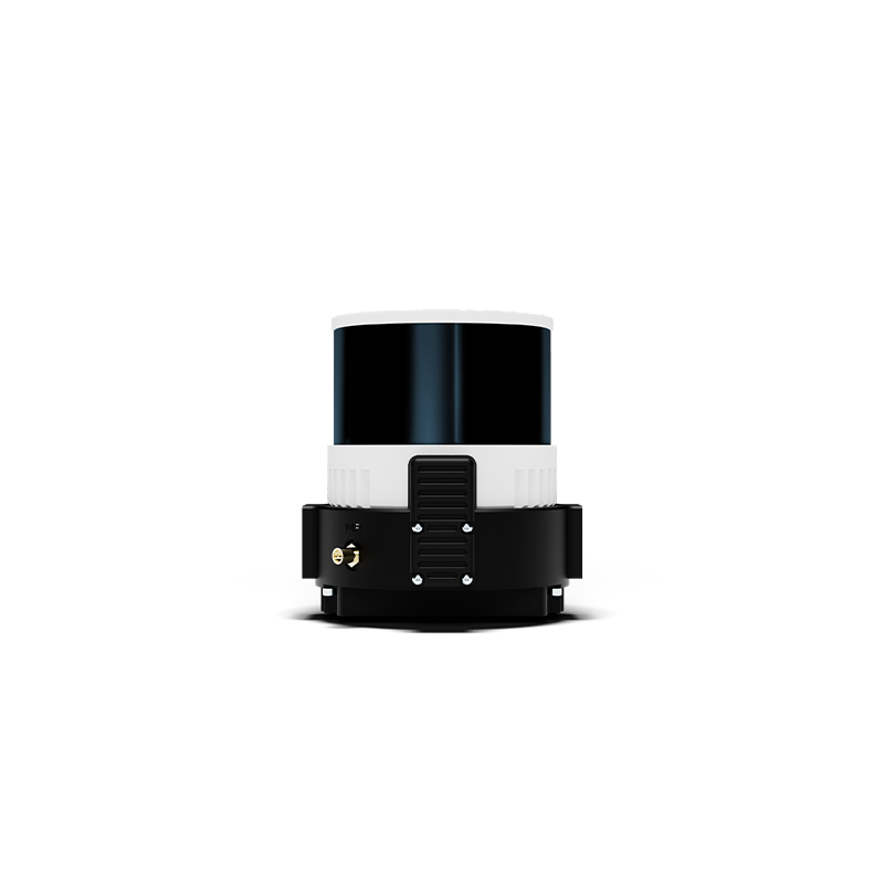
The Wingtra LiDAR is an integrated aerial laser-scanning solution designed to capture high-density 3D point clouds for professional surveying and mapping. It combines a laser…