

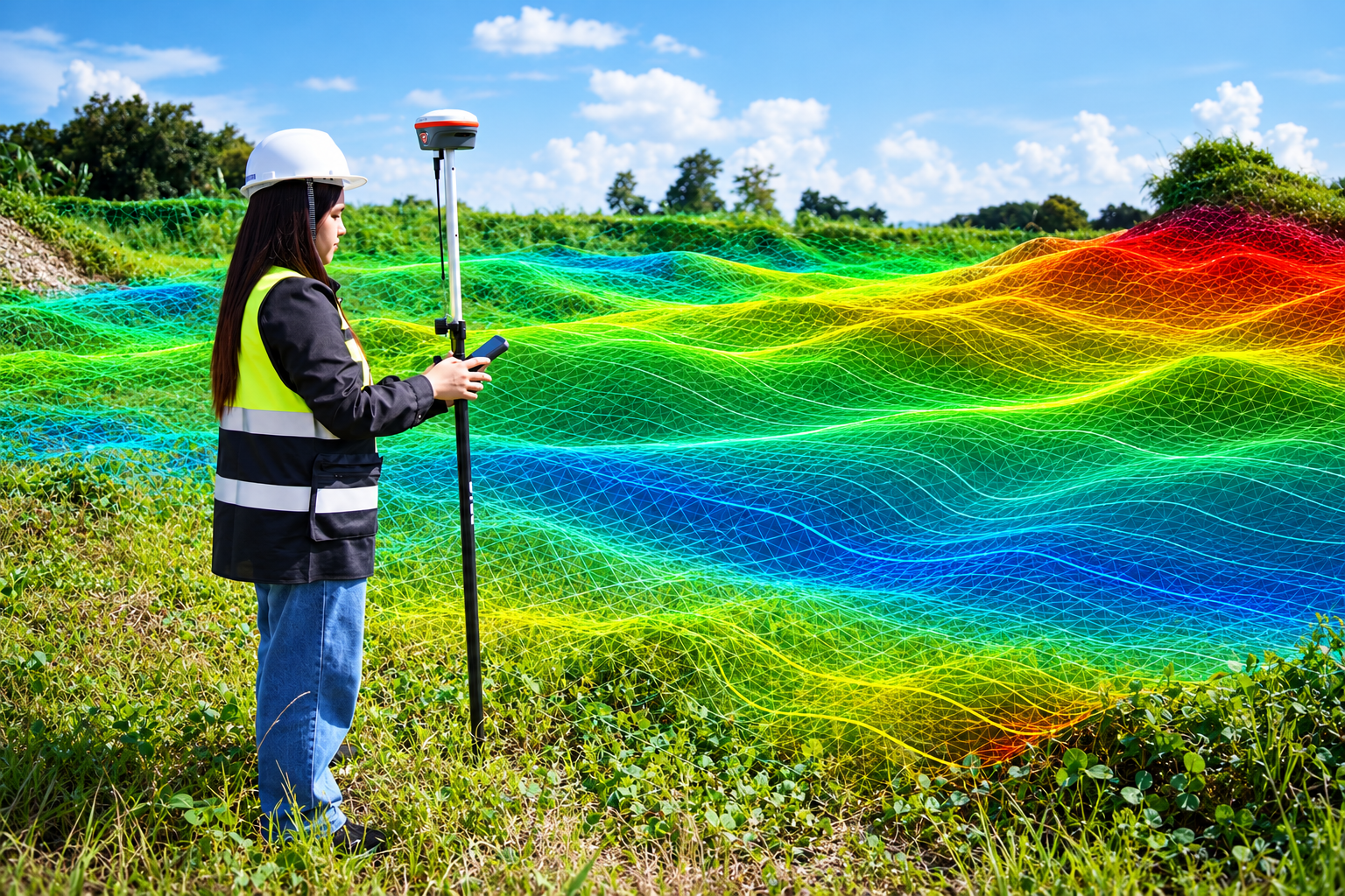
Land Survey
Accurate land surveying services to determine property boundaries, dimensions, and land measurements for reliable property assessment and development.
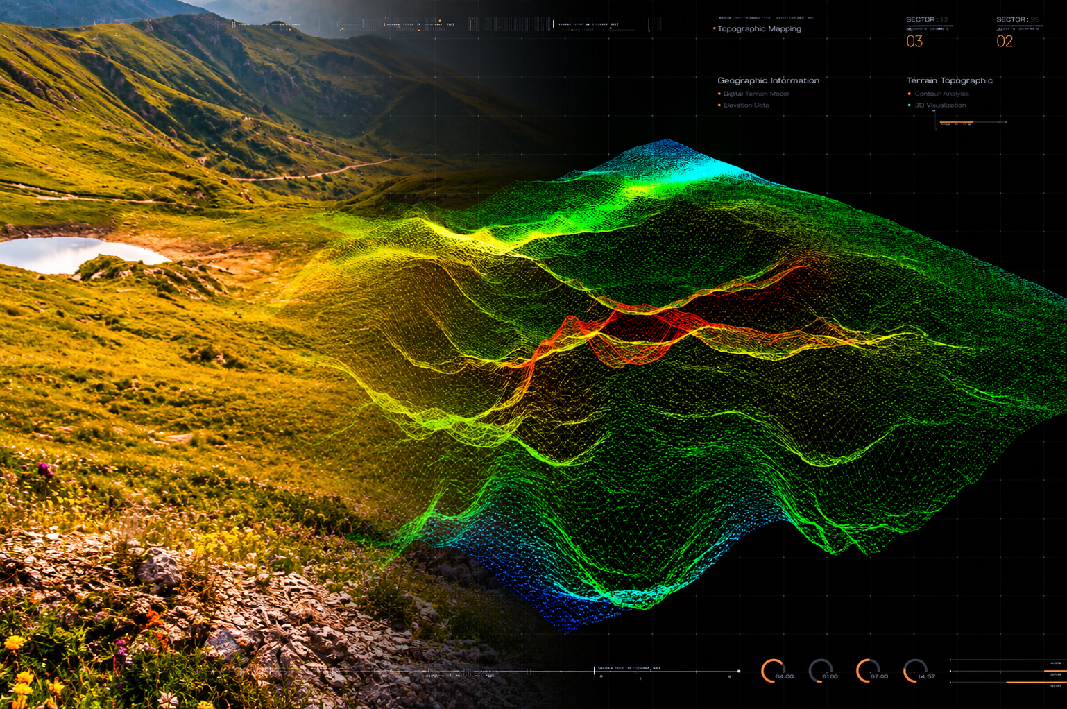
Topographic Survey
Detailed topographic surveys that map land elevations, contours, and natural and man-made features for accurate site planning and development.
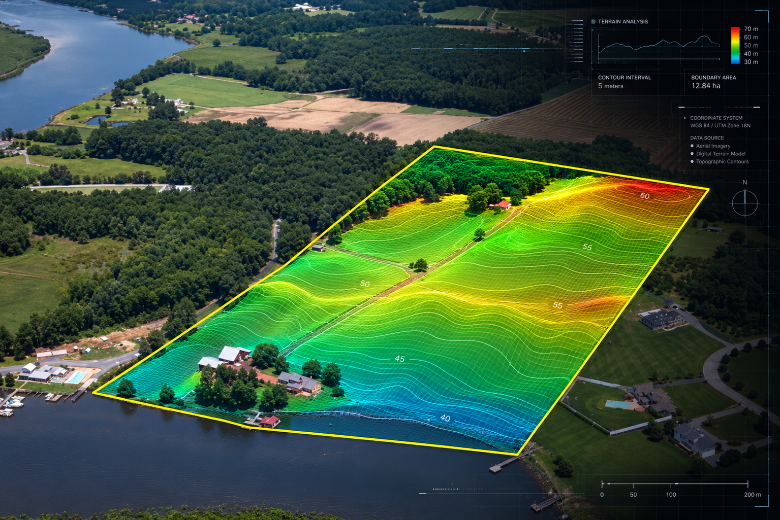
Boundary Survey
Accurately identifies and marks property boundaries to establish land limits, verify property dimensions, and help prevent boundary disputes.
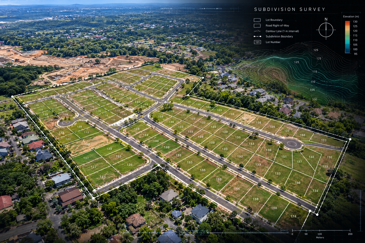
Subdivision Survey
Provides accurate subdivision surveys to divide land into individual lots, establish property boundaries, and support land development and registration.

Bathymetric Survey
Provides accurate bathymetric surveys to measure water depths and map underwater features, supporting marine construction, dredging, and water resource management.
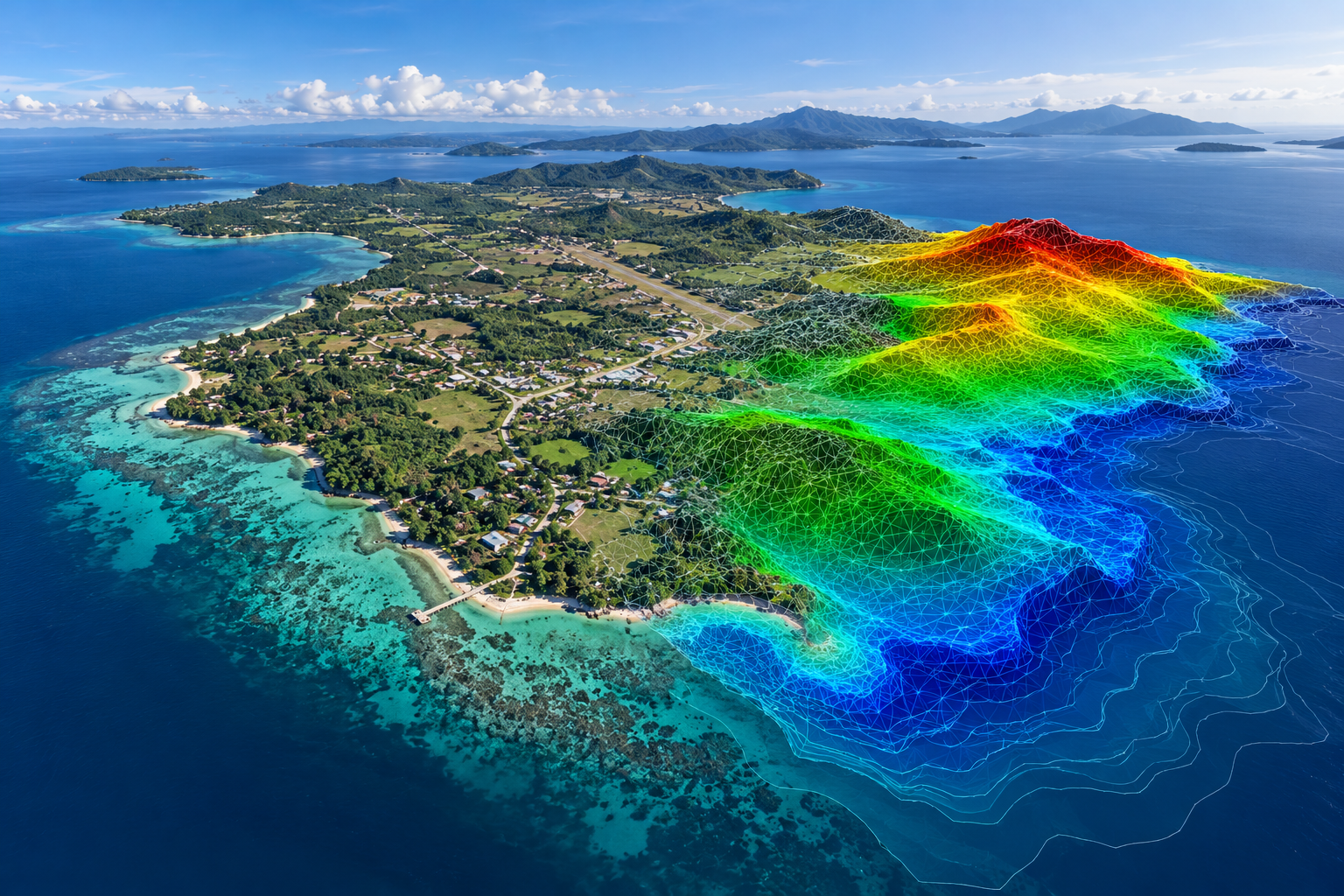
Photogrammetry
Provides precise photogrammetry surveys using aerial images to create accurate maps, 3D models, and detailed measurements for land mapping and project planning.
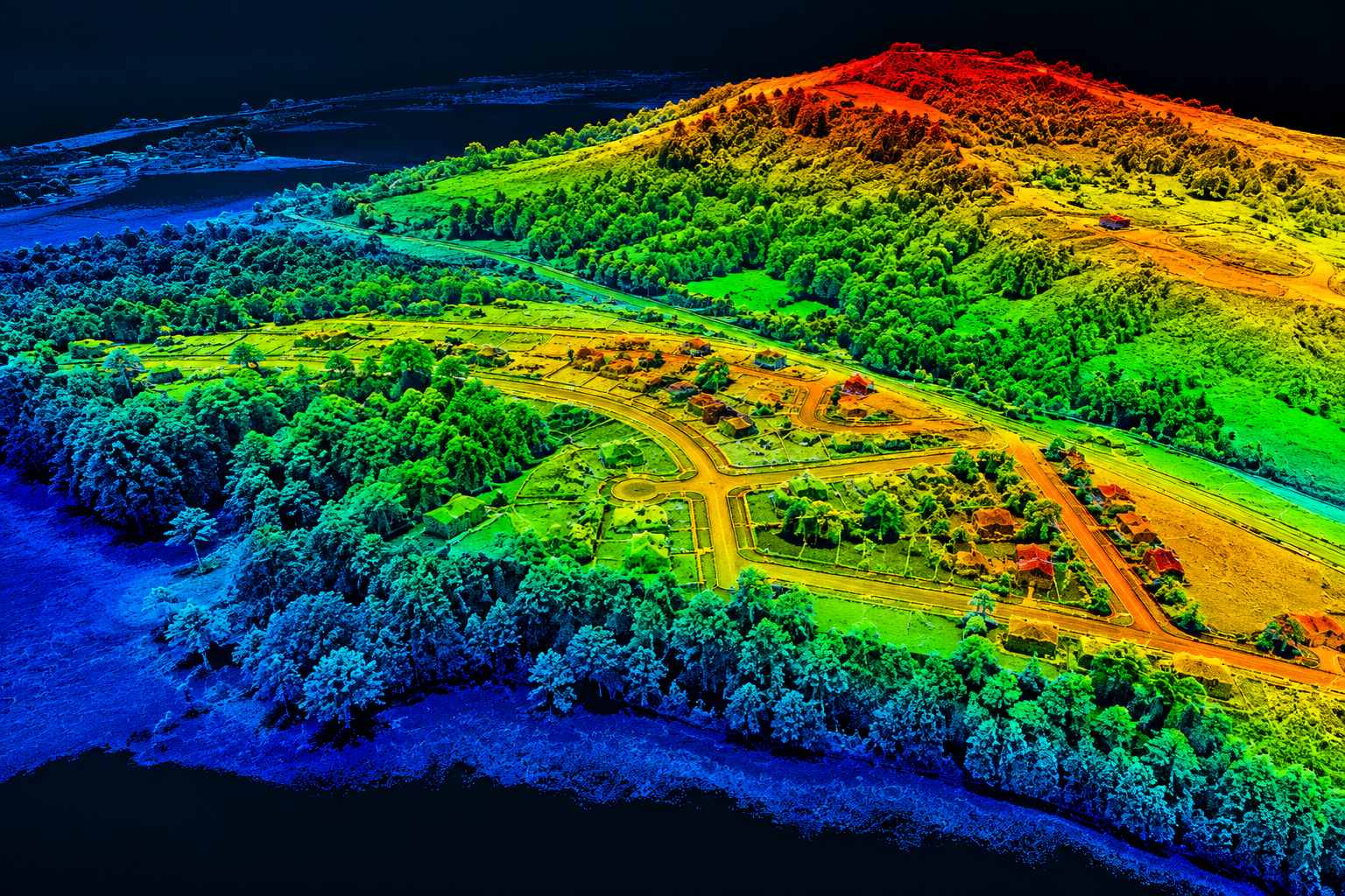
Lidar Survey
Provides high-precision LiDAR surveys using laser scanning technology to capture detailed terrain data, elevations, and surface features for accurate mapping and planning.
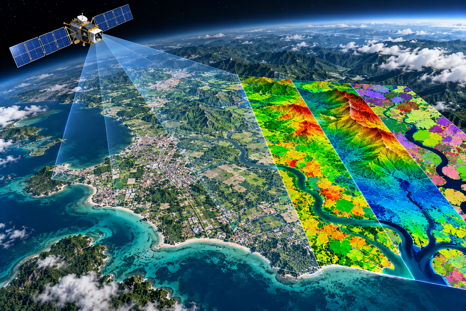
Remote Sensing
Utilizes satellite and aerial imagery to collect and analyze land information, monitor surface changes, and support accurate mapping, environmental assessment, and project planning.