-
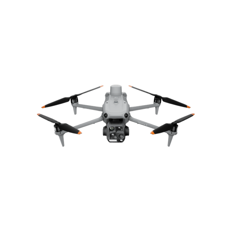
The DJI Matrice 4E is a compact, portable enterprise drone engineered for high-precision mapping, engineering surveying, and inspections. It serves as a major upgrade in…
-
-
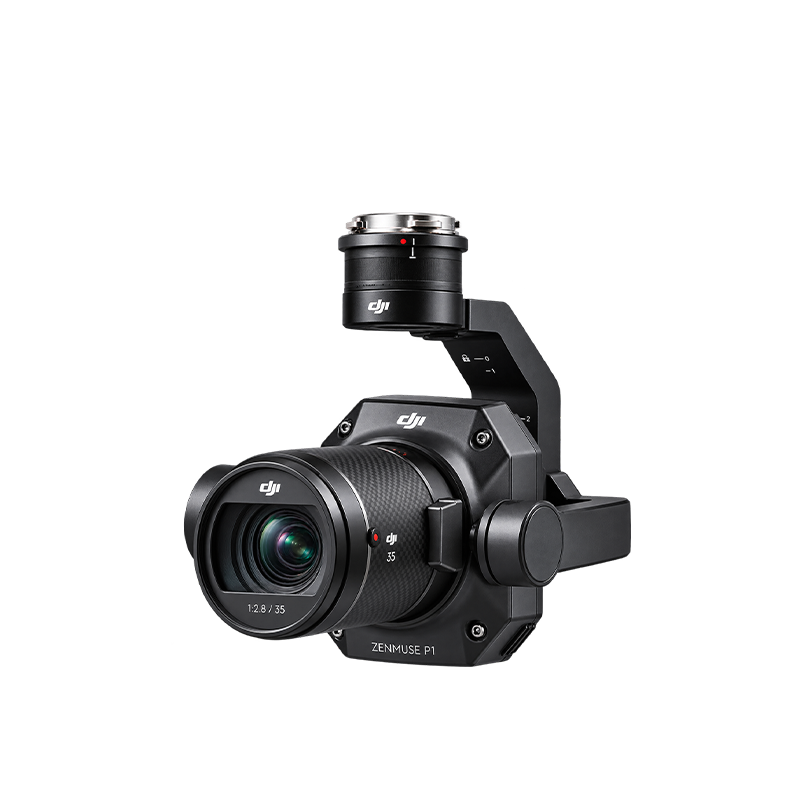
The DJI Zenmuse P1 is a professional drone-mounted mapping camera designed for land surveying, aerial photography, and high-accuracy 2D and 3D mapping. Unlike the Zenmuse…
-
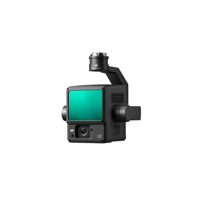
The DJI Zenmuse L2 is a high-precision LiDAR surveying and mapping sensor designed for DJI enterprise drones. It uses laser technology to measure distances and…