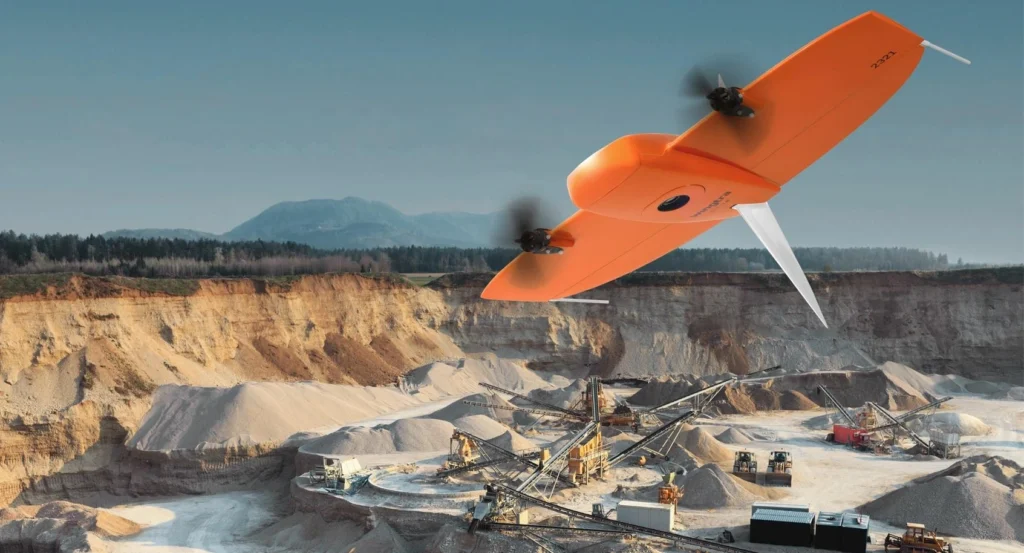
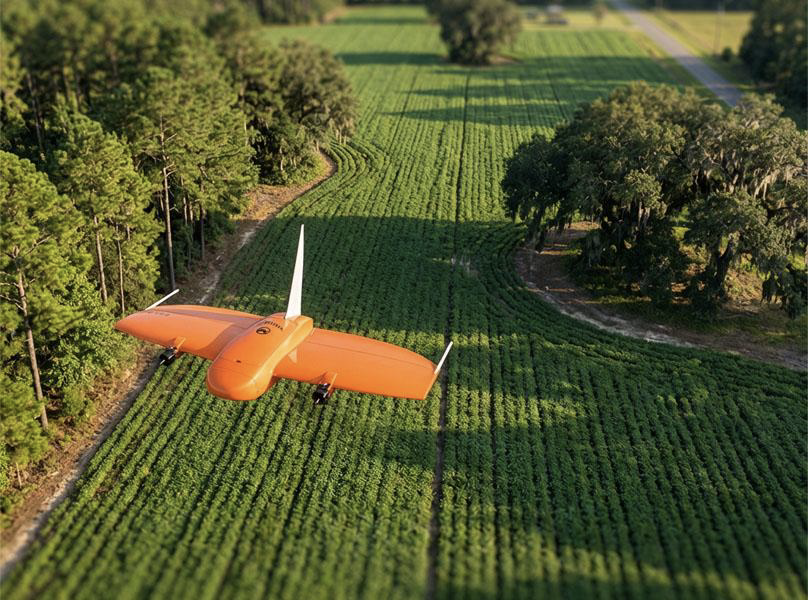
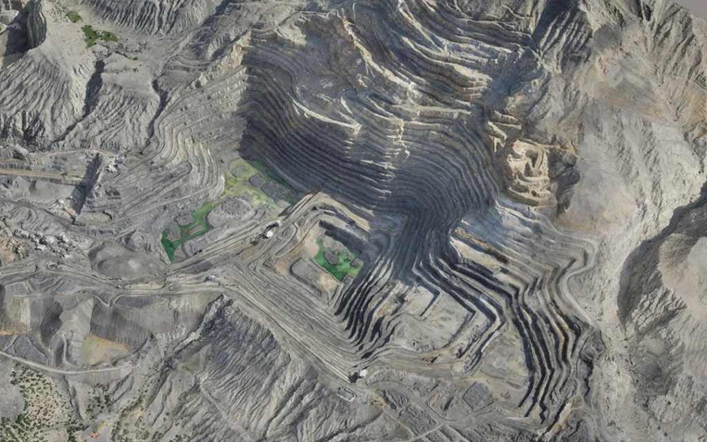
Uses overlapping high-resolution photographs captured by an RGB camera. Photogrammetry software matches features across images to reconstruct terrain, buildings, and other objects in 2D and 3D.
Orthomosaic maps
Digital Surface Models (DSM)
3D meshes and models
RGB point clouds
Contours and measurements
Lidar
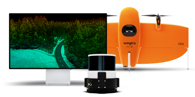
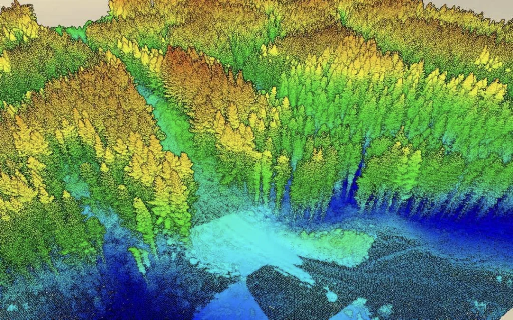
LiDAR emits laser pulses and measures their return time to determine distances. Combined with GNSS positioning and an inertial measurement unit (IMU), these measurements produce a georeferenced 3D point cloud.
Dense 3D point clouds
Digital Terrain Models (DTM)
Digital Surface Models (DSM)
Classified ground and vegetation data
Contours and terrain profiles
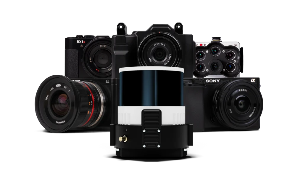
Multi-Mission Payloads
One Platform. Multiple Payloads. Endless Possibilities.
Adapt your WingtraOne GEN II to a wide range of surveying and mapping applications with mission-specific payload options. From high-resolution photogrammetry and detailed 3D reconstruction to LiDAR-based terrain mapping and multispectral data collection, choose the right sensor for your project requirements. Capture the data you need to support smarter analysis, more efficient workflows, and better-informed decisions across diverse industries.
GET IN TOUCH
Contact Surveytech today for product inquiries, live demonstrations, and exclusive offers.