MAP 61

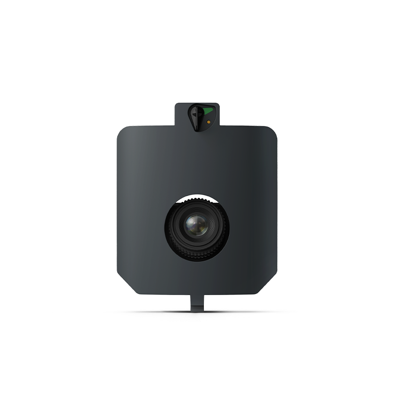
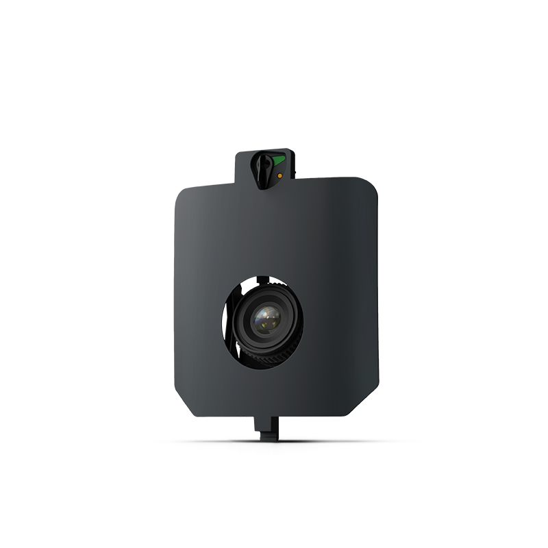
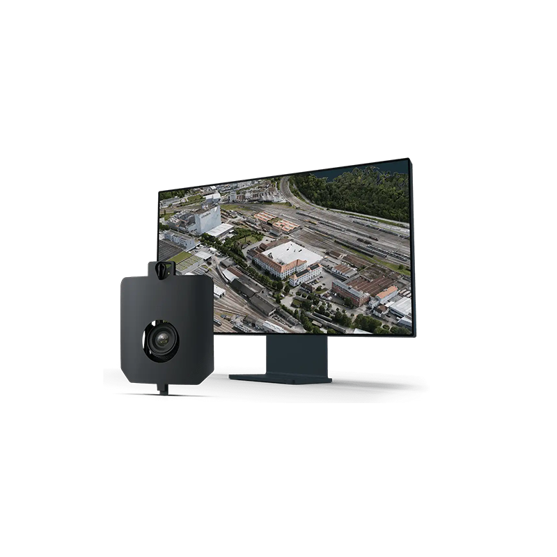
The Wingtra MAP61 is a 61-megapixel full-frame aerial mapping camera designed for the WingtraRAY drone. Its wide-angle, oblique camera configuration is optimized for large-area mapping and detailed 3D reconstruction of buildings, construction sites, mines, and infrastructure.

  • Camera Resolution: 61 MP
  • Sensor: Full-frame CMOS
  • Image Resolution: 9504 × 6336 pixels
  • Lens: 17 mm wide-angle
  • Camera Configuration: 15° oblique
  • Shutter: Mechanical focal-plane shutter
  • Field of View: 93° horizontal / 70° vertical
  • Lowest GSD: 1.2 cm/pixel at 54 m altitude
  • GSD at 120 m: 2.7 cm/pixel
  • Maximum Coverage: Up to 460 ha at 120 m altitude
  • Payload Weight: 585 g, including mount
  • Absolute Accuracy with PPK: Up to 2 cm horizontal / 4 cm vertical RMS without GCPs, under recommended workflow conditions

Description

Parameter

Specification

Sensor type

Full-frame RGB

Image resolution

61 MP (9504 × 6336 pixels)

Sensor dimensions

35.7 × 23.9 mm

Lens focal length

17 mm

Shutter type

Mechanical focal-plane shutter

Mounting angle

15° off-nadir

Horizontal field of view

93°

Vertical field of view

70°

Payload weight

585 g, including mount

Minimum capture interval

0.5 seconds

Minimum trigger distance

8 m