

DJI MATRICE 4E
The DJI Matrice 4E is a compact, intelligent enterprise drone specifically designed for surveying, mapping, construction, mining, inspection, and other geospatial applications. It combines a high-resolution 4/3-inch 20 MP wide-angle camera, dual telephoto cameras, laser rangefinding, RTK positioning capability, intelligent flight functions, and advanced obstacle sensing in a portable platform.
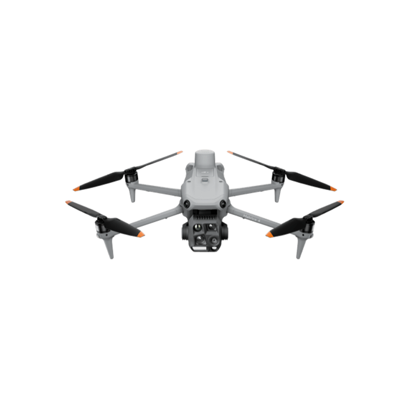
Meet the DJI Matrice 4E where precision meets innovation Designed for professional surveying, mapping, construction, and inspection, this intelligent drone delivers high-quality aerial data, smarter flight capabilities, and greater efficiency. Fly smarter, map faster, and achieve more with every mission.
Wide-angle camera
1/1.3″ CMOS, 48MP Effective Pixels, f/1.7, Format Equivalent: 24 mm
Medium tele camera
1/1.3″ CMOS, 48MP Effective Pixels, f/2.8, Format Equivalent: 70 mm
Tele camera
1/1.5″ CMOS, 48MP Effective Pixels, f/2.8, Format Equivalent: 168 mm
Laser range finder
Measurement Range: 1800 m, Blind Zone: 1 m, Range Accuracy (m): ± (0.2 + 0.0015 × D)
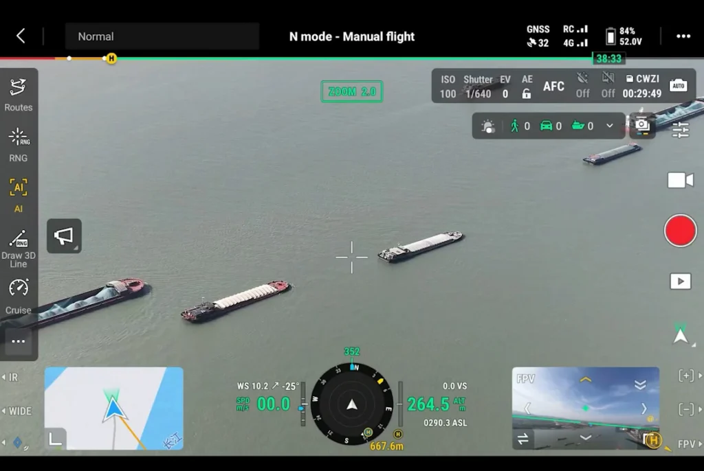
Intelligent Detection and Mission Awareness
Paired with the Zenmuse H30 Series, the DJI Matrice 400 detects people, vehicles, and vessels using visible-light and thermal imaging, while supporting high-resolution grid photography and intelligent subject tracking. Its versatile payload compatibility adapts to different mission requirements, while Smart AR Projection overlays essential flight information—including powerline routes, terrain maps, waypoints, and points of interest—onto the live camera feed for enhanced situational awareness, more efficient navigation, and streamlined data processing.
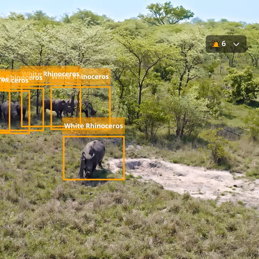
Intelligent Operations with AI
The DJI Matrice 4E elevates mission efficiency with AI-powered detection of people, vehicles, and boats, alongside support for custom AI models, high-resolution grid photography, and intelligent subject tracking. Its integrated laser rangefinder enables real-time distance measurement and precise location marking, while DJI Pilot 2 and DJI FlightHub 2 streamline data sharing and team coordination. With observation range recording to visualize camera coverage, the Matrice 4E empowers professionals to conduct smarter inspections, more effective patrols, and faster search-and-rescue operations with greater precision and confidence.
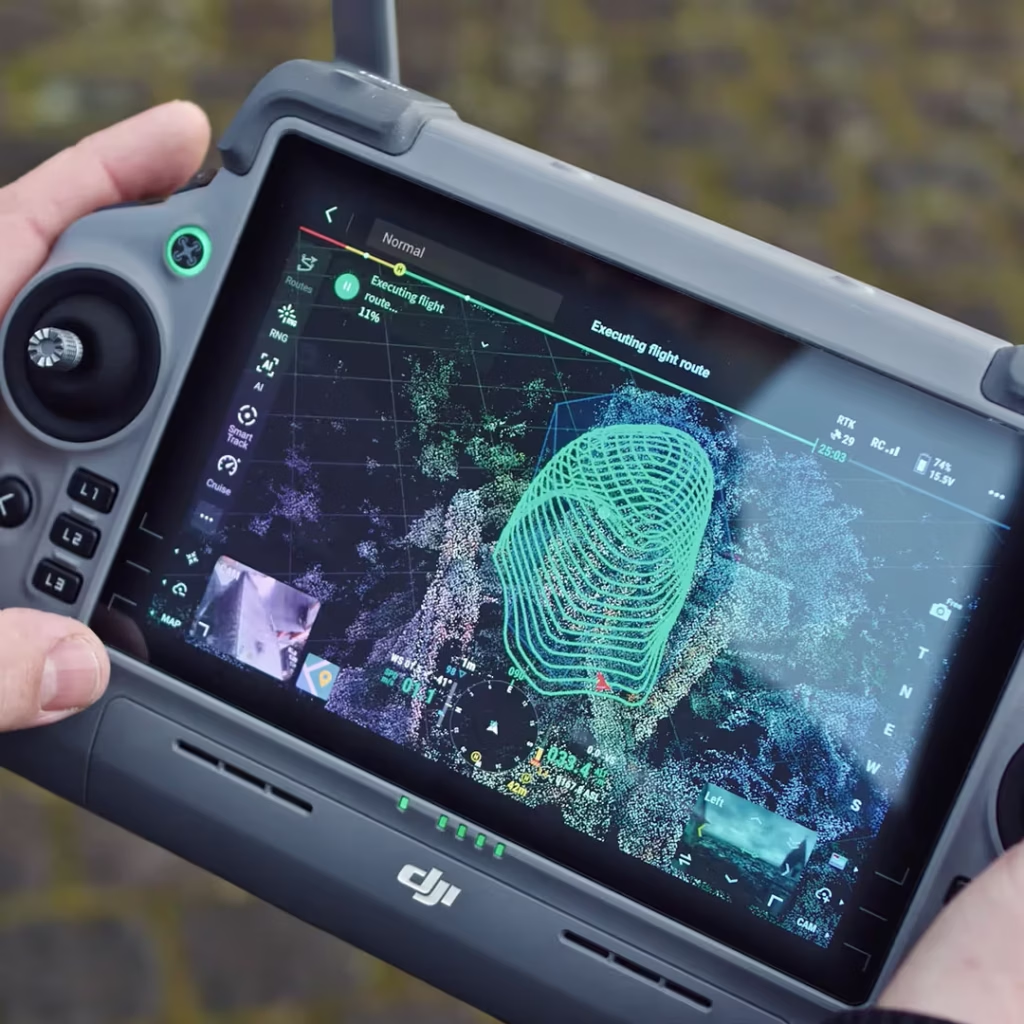
Smart Tracking and Intelligent Orbiting
The DJI Matrice 4E features Smart Track, which automatically adjusts zoom and helps maintain visual tracking of subjects, allowing operators to switch targets with ease. Its Point of Interest (POI) mode enables smooth, automated circular flights around buildings or designated areas, making it easier to capture detailed imagery for site inspections, fixed-point observation, and 3D modeling with greater efficiency and precision.
Enhanced Imaging and Superior Clarity
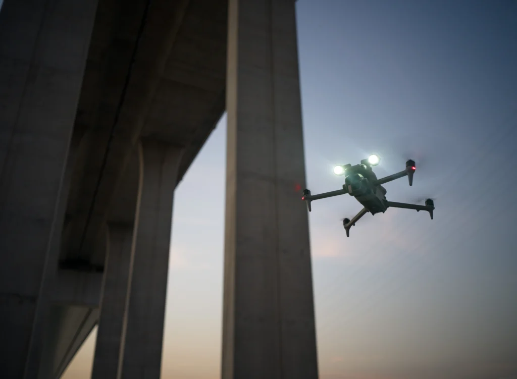
The DJI Matrice 4E delivers sharp, stable telephoto imagery with advanced stabilization, helping professionals capture fine details even at high zoom levels. Its Electronic Dehazing feature offers Low, Medium, and High modes to improve image clarity in hazy or humid environments, ensuring clearer visuals for surveying, mapping, and inspection missions.
Exceptional Low-Light Performance
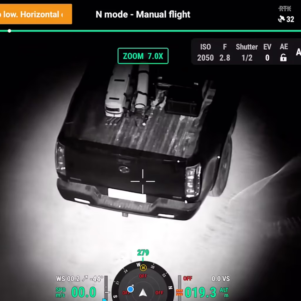
The DJI Matrice 4E excels in low-light environments with advanced night vision, enhanced noise reduction, and larger-aperture cameras that deliver clearer, more detailed imagery at dusk and during nighttime operations. Its low-light omnidirectional sensing system enhances positioning and obstacle avoidance, helping the drone navigate complex surroundings and return home safely—even in challenging lighting conditions.
Advanced Aerial Imaging for Faster, More Efficient Surveying
The DJI Matrice 4E elevates mission efficiency with AI-powered detection of people, vehicles, and boats, alongside support for custom AI models, high-resolution grid photography, and intelligent subject tracking. Its integrated laser rangefinder enables real-time distance measurement and precise location marking, while DJI Pilot 2 and DJI FlightHub 2 streamline data sharing and team coordination. With observation range recording to visualize camera coverage, the Matrice 4E empowers professionals to conduct smarter inspections, more effective patrols, and faster search-and-rescue operations with greater precision and confidence.
Advanced Telephoto Imaging for Precision Inspection
The Matrice 4E’s enhanced medium telephoto camera is ideal for mid-range inspections of power lines, bridges, and substations, capturing small details such as screws and cracks from 10 metres away and reading instrument data clearly, while its 48 MP super-resolution telephoto camera captures fine details, such as signs, from distances of up to 250 metres.