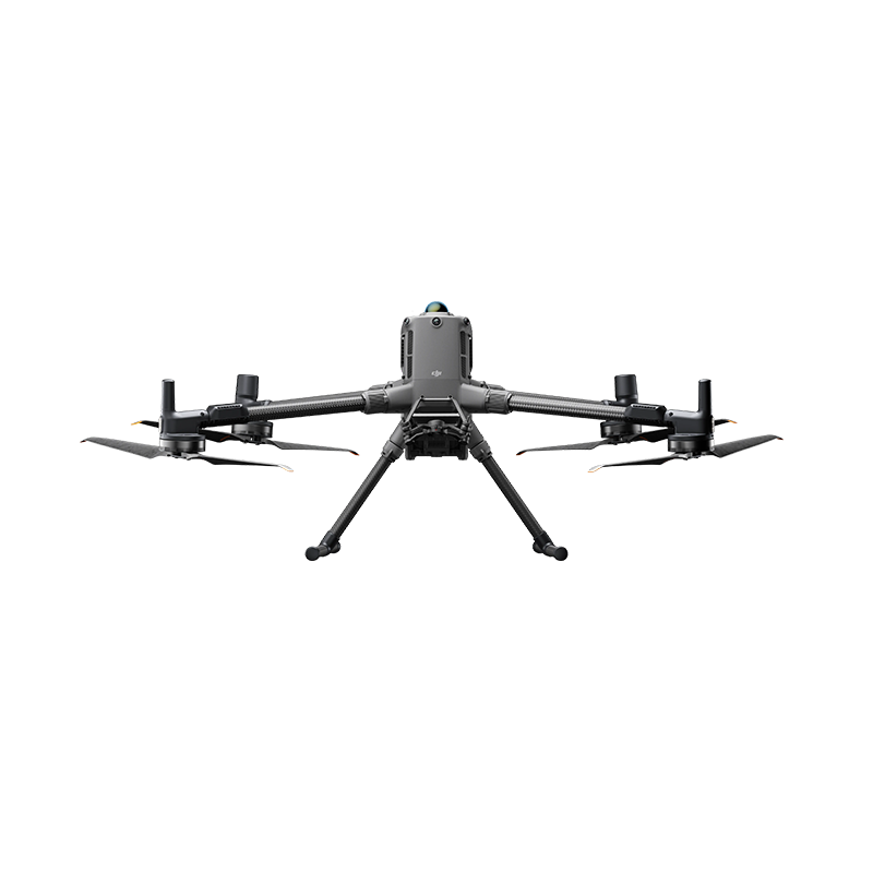
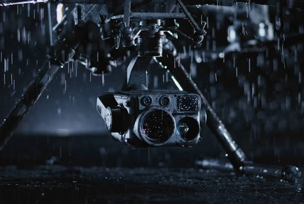
The DJI Matrice 400 is a professional enterprise UAV designed for aerial surveying, LiDAR mapping, infrastructure inspection, emergency response, and industrial operations. It supports a range of specialized DJI payloads, including LiDAR sensors, photogrammetry cameras, and thermal imaging systems.
DJI Matrice 400 is a powerful enterprise drone engineered for professional surveying, aerial mapping, infrastructure inspection, and public safety operations. With up to 59 minutes of flight time, a high payload capacity, advanced obstacle sensing, and compatibility with professional imaging and LiDAR payloads, it delivers exceptional performance and efficiency in demanding environments. Equipped with intelligent flight automation and robust all-weather protection, it enables professionals to capture accurate data, streamline field operations, and accomplish complex missions with confidence.
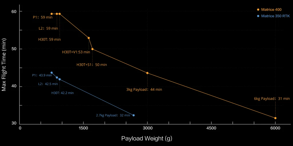
59-Min Max Flight Time (With H30T)
Safe and Reliable Flight
6kg Payload Capacity With Versatile Compatibility
Easier Automated Operations
Enhanced Intelligence and Efficiency
Comprehensive Accessory Upgrades
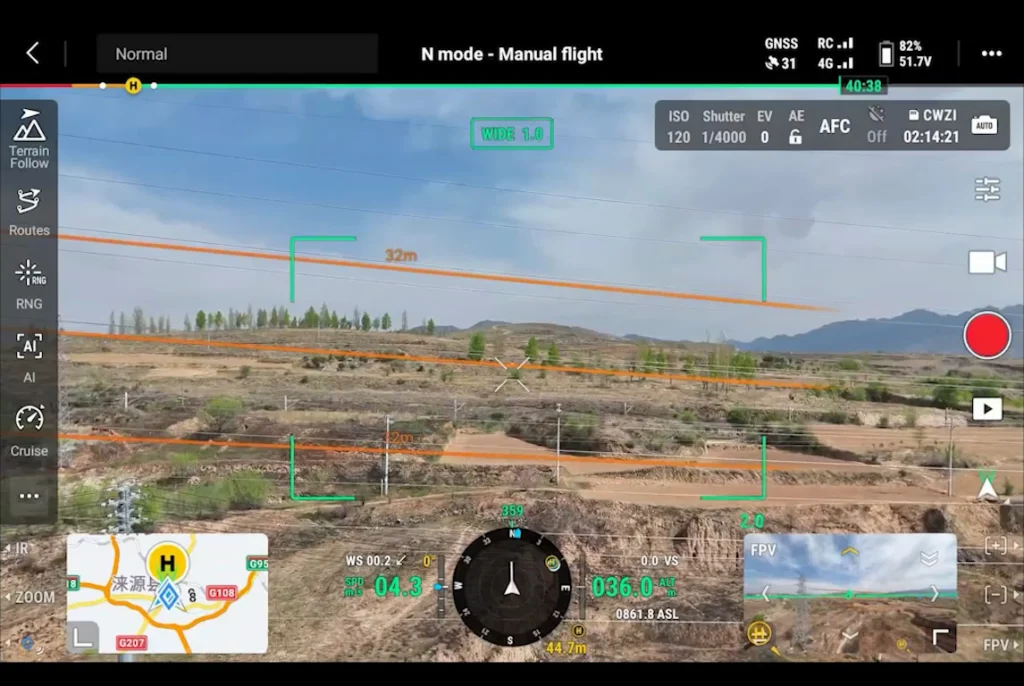
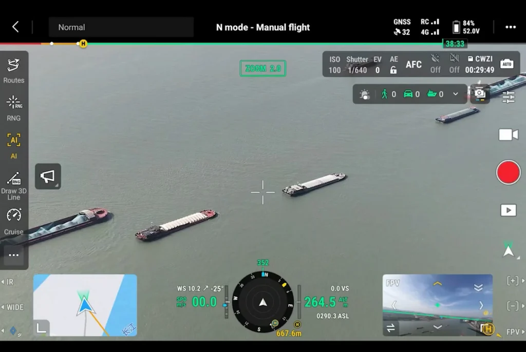
Intelligent flight features
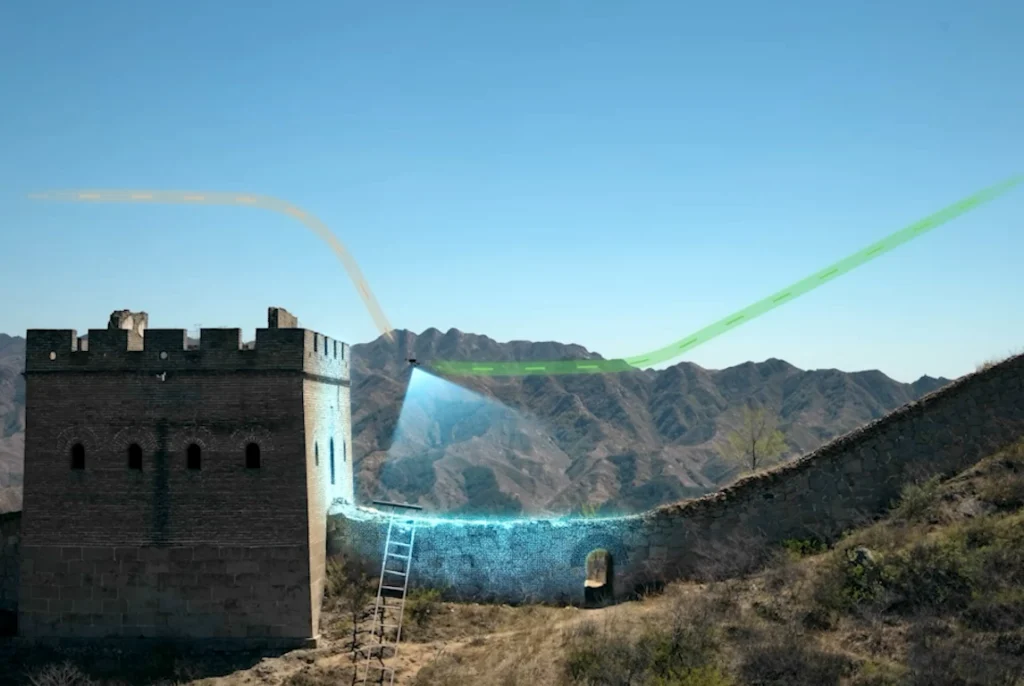
Terrain following, automated power-line inspection, and smart detection.
The DJI Matrice 400 delivers exceptional flight endurance, offering up to 59 minutes of maximum flight time and up to 53 minutes of hovering time under specified test conditions. Its extended flight capability allows professionals to cover larger survey areas, conduct longer infrastructure inspections, and perform complex aerial operations with fewer battery changes. Designed for demanding industrial applications, the Matrice 400 supports a wide range of compatible payloads for surveying, mapping, search and rescue, and public safety missions. Actual flight time varies depending on payload configuration, weather conditions, flight speed, and operating environment.
Multi-Mission Payloads
DJI Matrice 400 is a powerful enterprise drone engineered for professional surveying, aerial mapping, infrastructure inspection, and public safety operations. With up to 59 minutes of flight time, a high payload capacity, advanced obstacle sensing, and compatibility with professional imaging and LiDAR payloads, it delivers exceptional performance and efficiency in demanding environments. Equipped with intelligent flight automation and robust all-weather protection, it enables professionals to capture accurate data, streamline field operations, and accomplish complex missions with confidence.
GET IN TOUCH
Contact Surveytech today for product inquiries, live demonstrations, and exclusive offers.