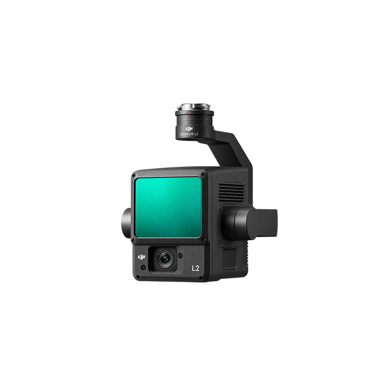
Description
|
Parameter |
Specification |
|---|---|
|
LiDAR Type |
Frame-based LiDAR |
|
Laser Wavelength |
905 nm |
|
Maximum Detection Range |
450 m at 50% reflectivity; 250 m at 10% reflectivity in 100 klx |
|
Point Cloud Rate |
240,000 points/s single return; up to 1,200,000 points/s multiple returns |
|
Maximum Returns |
5 |
|
LiDAR Field of View |
70° × 3° repetitive; 70° × 75° non-repetitive |
|
Ranging Accuracy |
2 cm at 150 m |
|
RGB Camera |
4/3-inch CMOS, 20 MP |
|
RGB Image Resolution |
5280 × 3956 pixels |
|
RGB Lens |
24 mm equivalent, 84° FOV |
|
RGB Aperture |
f/2.8–f/11 |
|
Photo Formats |
JPEG, DNG (RAW) |
|
Video |
4K at 30 fps |
|
Gimbal |
3-axis stabilized |
|
IMU Update Rate |
200 Hz |