UAV Technology for Accurate and Efficient Surveying
UAV IN SURVEYING
What is UAV in Surveying?
UAVs, or Unmanned Aerial Vehicles, are remotely operated aircraft used to collect aerial data for surveying and mapping. Equipped with cameras, sensors, and positioning technology, UAVs can capture detailed images and geospatial information of large areas quickly and efficiently. This data can be used to create accurate maps, 3D models, topographic surveys, and other valuable surveying outputs.
UAV surveying has several limitations, including weather conditions, limited battery life, legal and airspace restrictions, obstacles such as trees and buildings, possible errors in positioning and measurements, large amounts of data that require specialized software for processing, and the need for trained and skilled operators to ensure accurate and safe survey results.
How Does UAV Work in Surveying?
UAVs use cameras and sensors to capture aerial images and data of a survey area. The collected data is processed into accurate maps, 3D models, and measurements, helping surveyors complete projects faster and more efficiently.
Benefits of UAV in Surveying
UAVs enable faster data collection, wider area coverage, high-resolution imagery, improved safety, and efficient mapping, making surveying faster and more cost-effective.
What types of surveying projects can benefit from UAV?
UAVs are ideal for topographic surveys, land mapping, construction monitoring, mining, agriculture, and large-area surveys that require efficient aerial data collection.
COMPARISON
VTOL fixed wing drones vs MULTI ROTOR drones
for Surveying
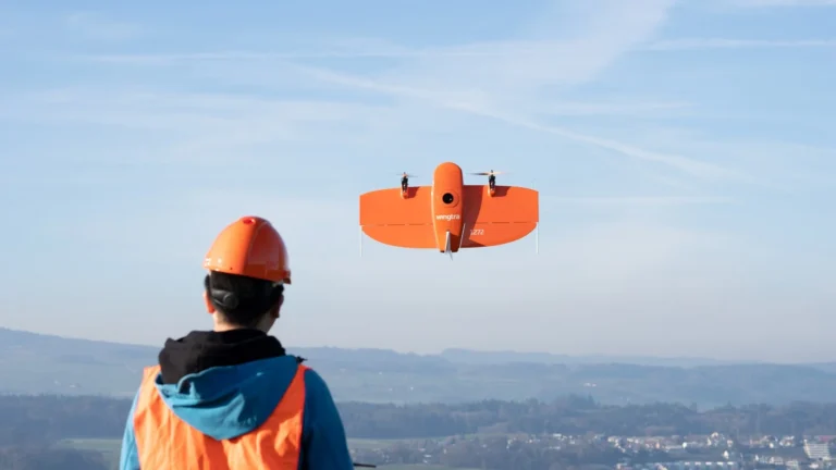
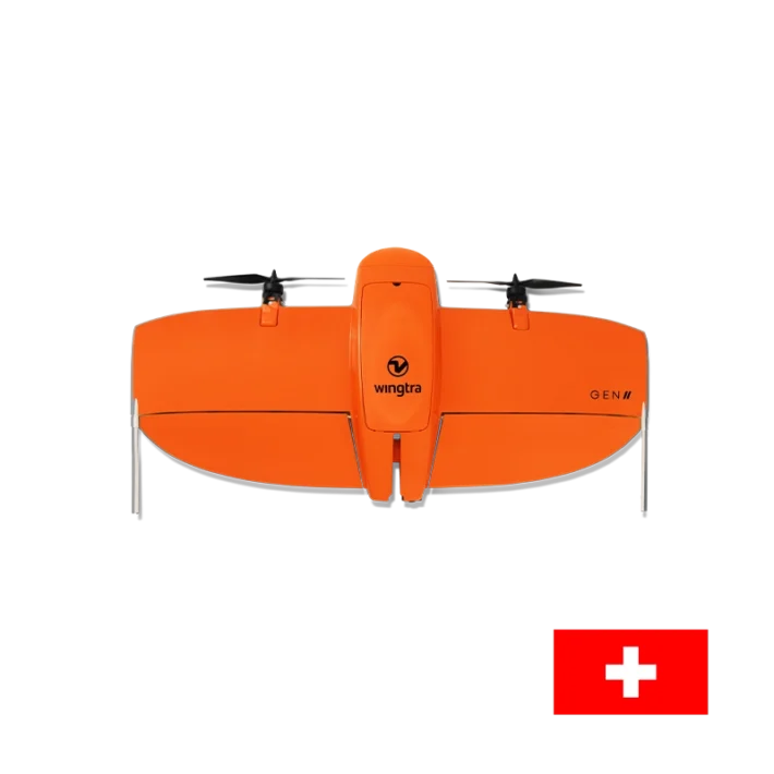
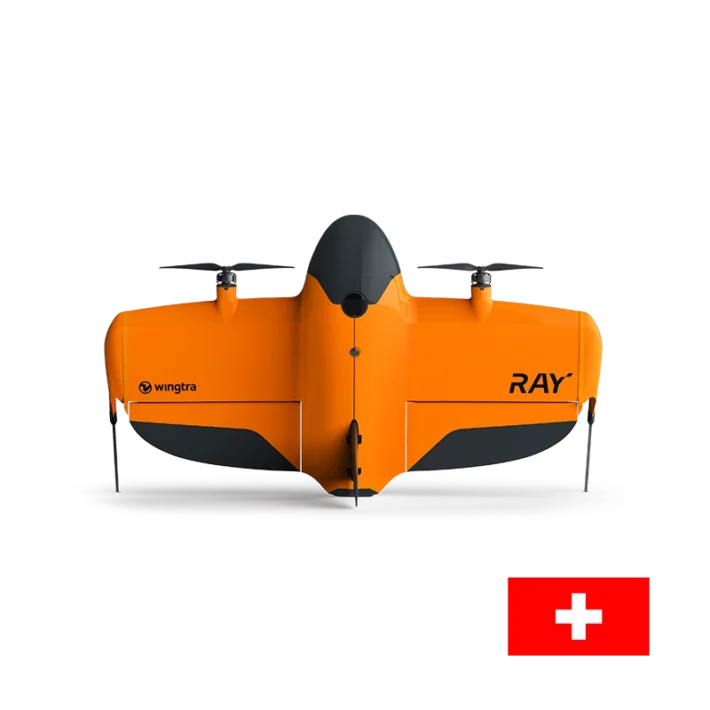
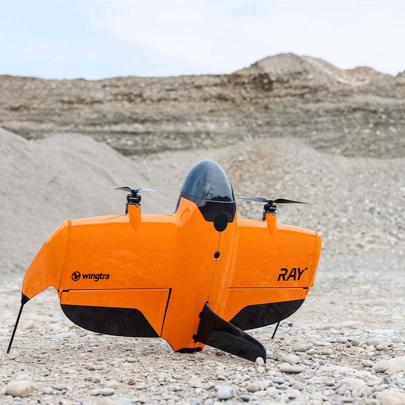
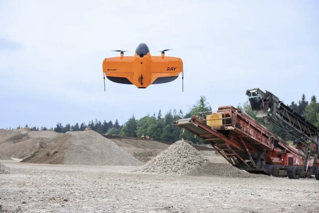
VTOL fixed-wing drones, such as the WingtraRAY, combine the vertical takeoff and landing capability of a multi-rotor drone with the flight efficiency of a fixed-wing aircraft. After taking off vertically, they transition into forward flight, using their wings to generate lift and conserve energy. This allows them to stay airborne longer and cover larger areas more efficiently, making them ideal for large-scale surveying, aerial mapping, LiDAR data collection, mining, forestry, agriculture, and long road or powerline corridors.
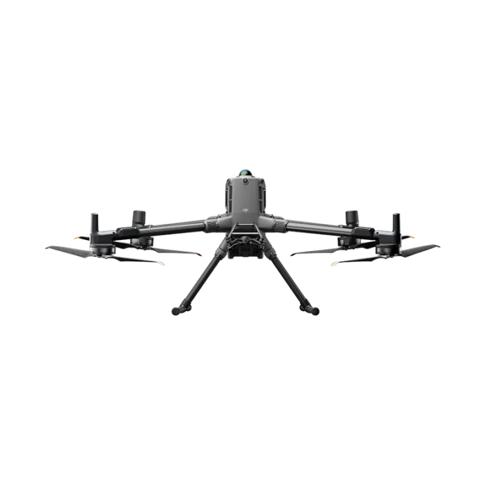
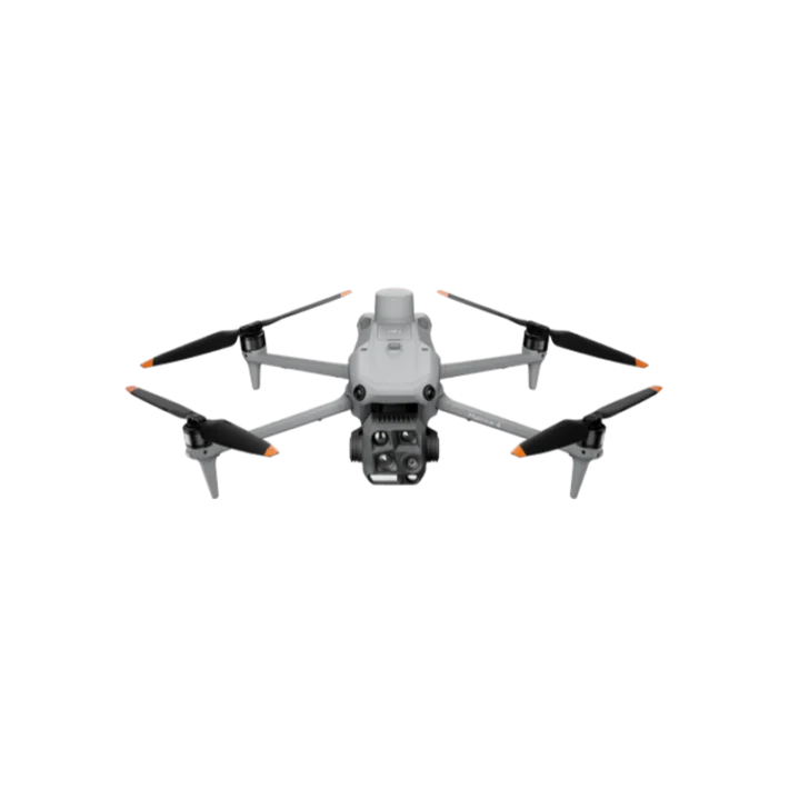
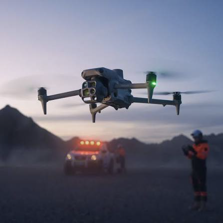
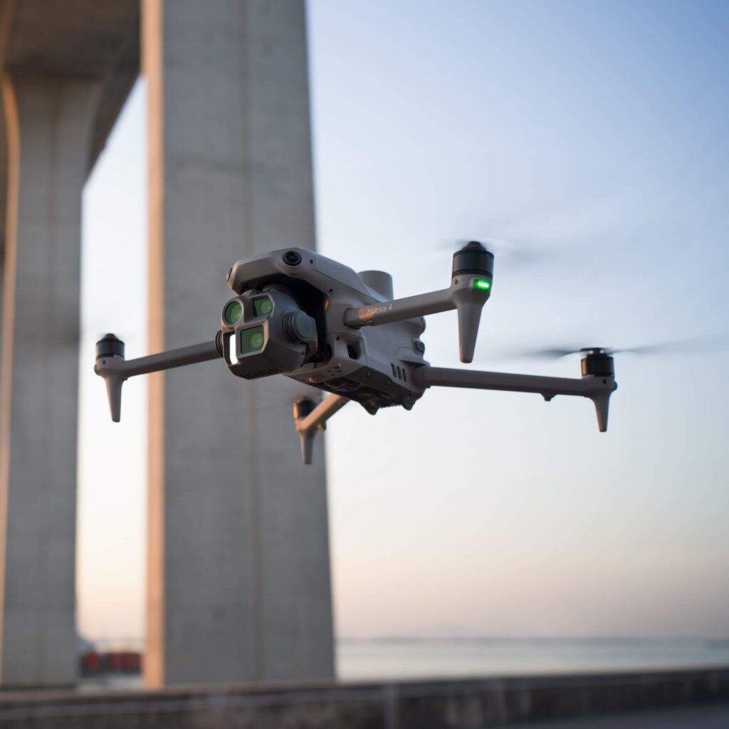
And for the Multi-rotor drones, such as the DJI Matrice 4E, use multiple propellers to generate lift and maneuver in different directions. They can hover in place, fly slowly, and navigate precisely around buildings, structures, and confined spaces. These capabilities make them well suited for construction site surveys, stockpile measurements, building inspections, and detailed mapping of smaller areas. While they generally have shorter flight times and lower area coverage than VTOL fixed-wing drones, they offer greater maneuverability and control for tasks requiring precise positioning and close-range data collection.
Which one is better for surveying?
Choose Multi-rotor drones if your projects involve subdivisions, construction sites, building surveys, and frequent small-to-medium mapping jobs. Its compact size, mechanical shutter, and multi-rotor maneuverability make it practical for everyday surveying.
Choose VTOL drones if your projects involve large mining sites, agricultural land, forestry, or long road corridors. Its longer flight time, larger mapping sensor, and dedicated LiDAR option are designed to maximize coverage and reduce the number of flights.
Explore Our UAV Products
Explore our range of UAV surveying solutions, designed to provide accurate aerial data and efficient mapping for reliable surveying, inspection, and geospatial applications.