New
Survey Umbrella
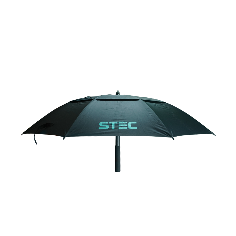
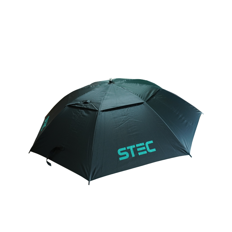
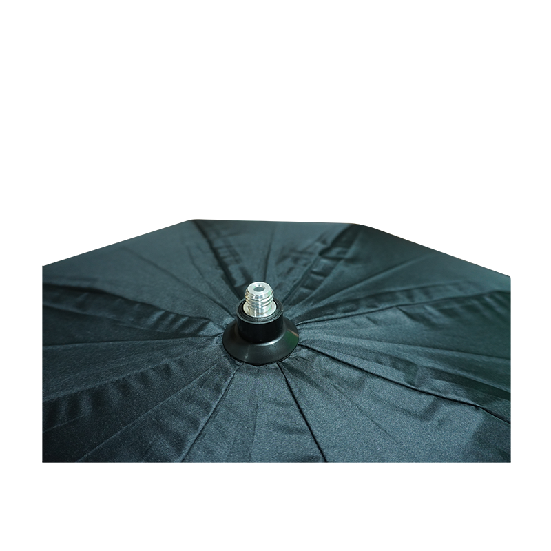
The STEC Umbrella is a specialized, lightweight outdoor weather shield designed for land surveyors and field engineers using GNSS (Global Navigation Satellite System) and RTK (Real-Time Kinematic) equipment.
Related products
-
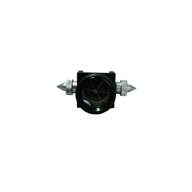
The TPSmini103 is a compact surveying accessory designed for use with compatible total stations. It provides reliable target positioning and distance measurement for land surveying,…
-
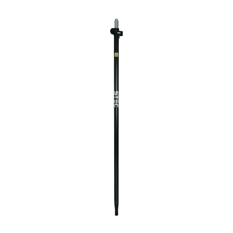
A lightweight fiber pole designed for mounting GNSS RTK rover receivers during field surveying. With its 2-meter length and secure mounting point, it is suitable…
-
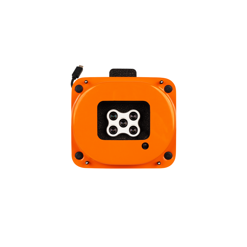
The MicaSense RedEdge-P multispectral camera captures five narrow spectral bands and RGB in one flight. Use the imagery to create vegetation indices and detailed maps…
-
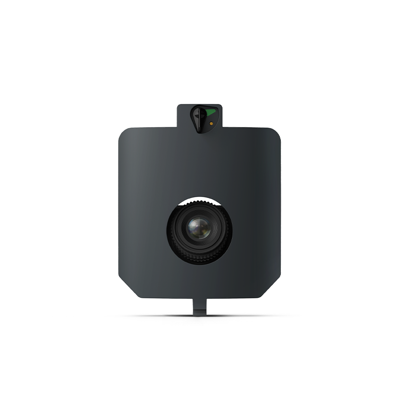
The Wingtra MAP61 is a 61-megapixel full-frame aerial mapping camera designed for the WingtraRAY drone. Its wide-angle, oblique camera configuration is optimized for large-area mapping…