-
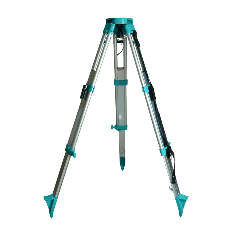
A lightweight and durable aluminum tripod designed to provide stable support for total stations and other compatible surveying instruments. Its adjustable legs and secure locking…
-
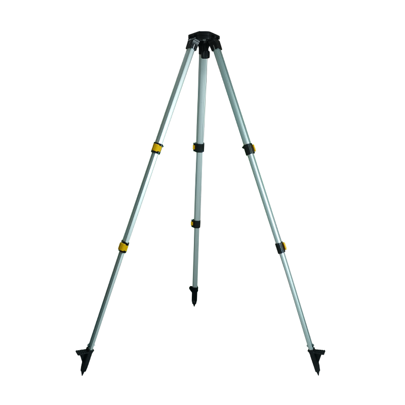
A lightweight and adjustable tripod designed to support GNSS RTK receivers and surveying poles during field operations. Its three-leg structure provides added stability, helping keep…
-
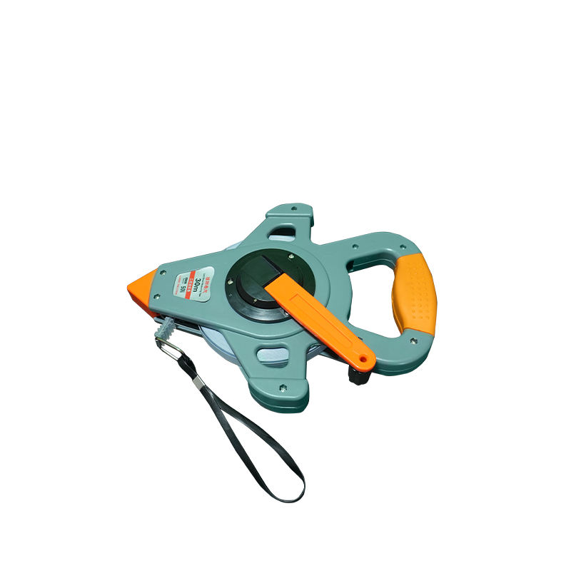
A durable and lightweight measuring tape designed for surveying, construction, and general measurement applications. Featuring a flexible fiberglass tape and a convenient reel with a…
-
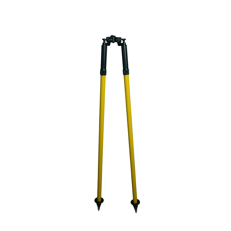
A lightweight, two-legged support stand designed to stabilize a GNSS RTK rover pole during surveying operations. Its adjustable legs provide added support to help keep…
-
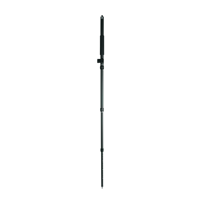
A lightweight, telescopic fiber pole designed for GNSS RTK rover receivers. Its portable, adjustable design allows convenient transport and easy setup during field surveying. Ideal…
-
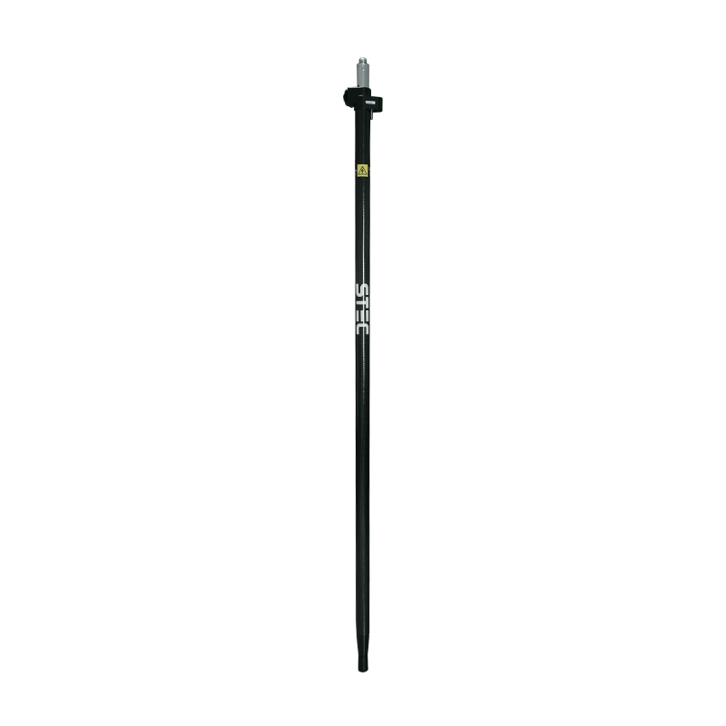
A lightweight fiber pole designed for mounting GNSS RTK rover receivers during field surveying. With its 2-meter length and secure mounting point, it is suitable…
-
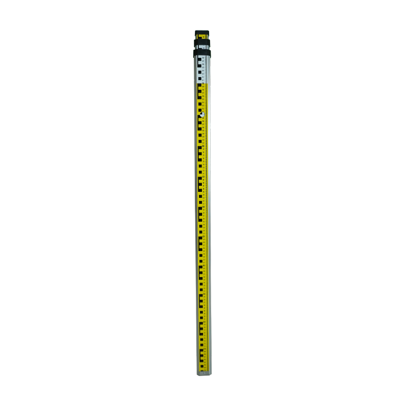
Stadia Rod
₱1.00High-Precision Aluminum Surveying Stadia Rod Master your land measurements with speed and precision. This heavy-duty Surveying Stadia Rod is engineered for professional surveyors, engineers, and… -
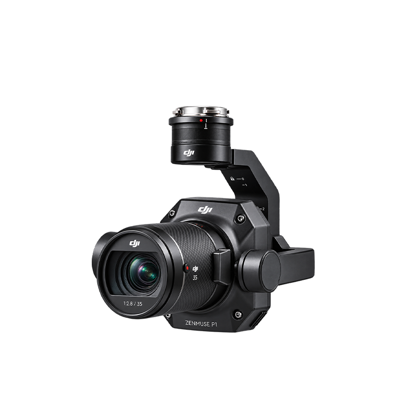
The DJI Zenmuse P1 is a professional drone-mounted mapping camera designed for land surveying, aerial photography, and high-accuracy 2D and 3D mapping. Unlike the Zenmuse…
-
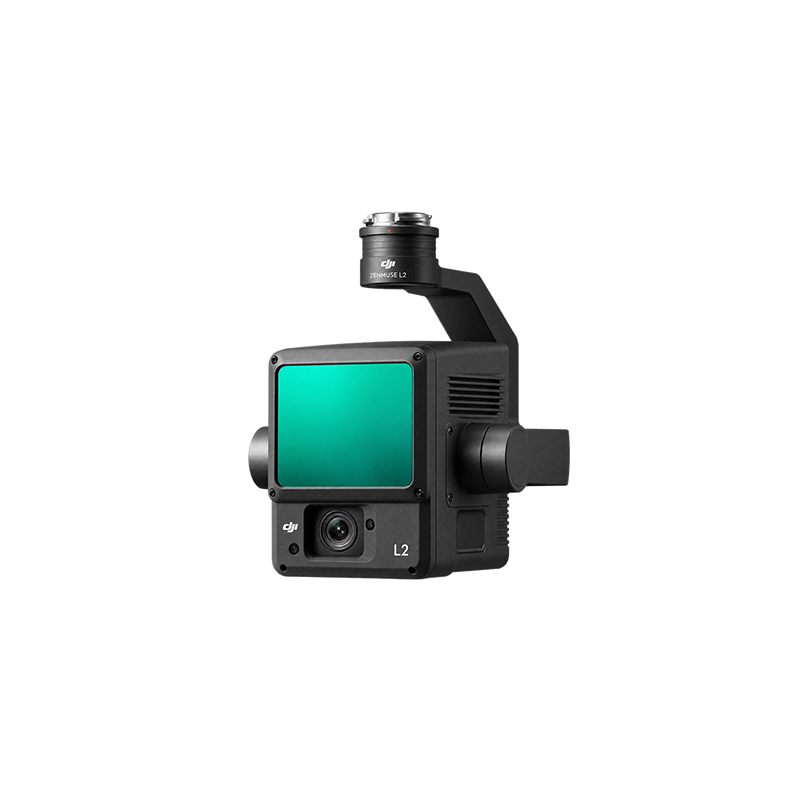
The DJI Zenmuse L2 is a high-precision LiDAR surveying and mapping sensor designed for DJI enterprise drones. It uses laser technology to measure distances and…
-
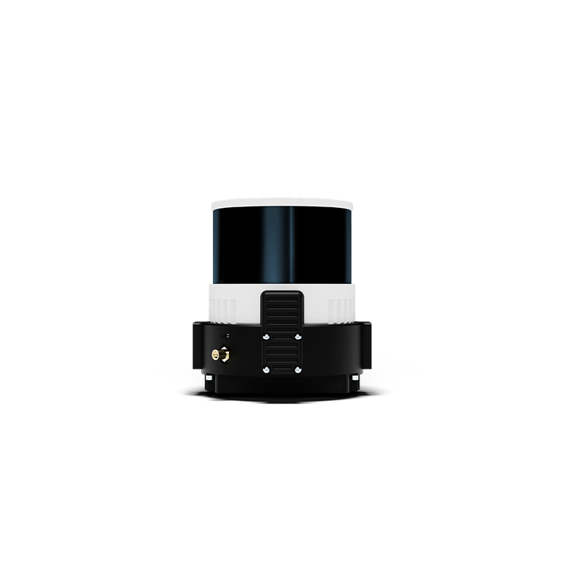
The Wingtra LiDAR is an integrated aerial laser-scanning solution designed to capture high-density 3D point clouds for professional surveying and mapping. It combines a laser…