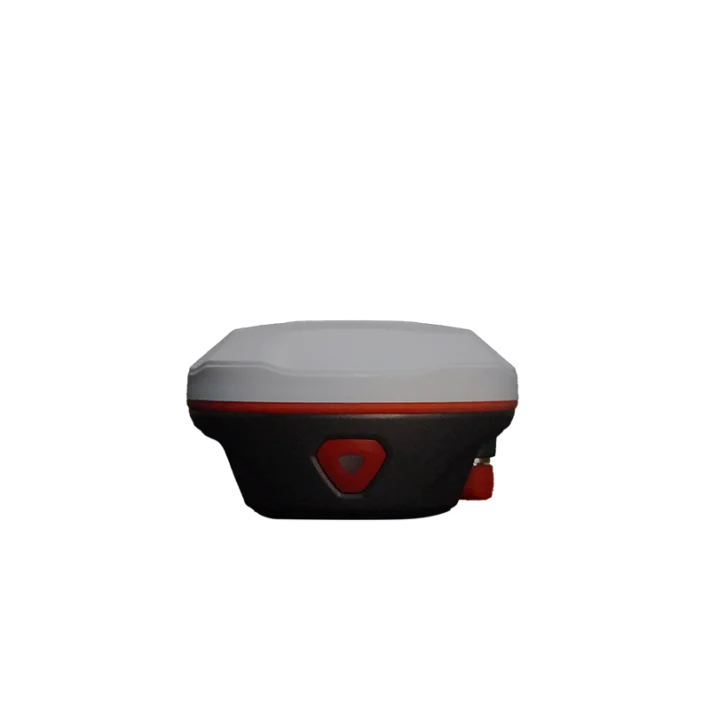
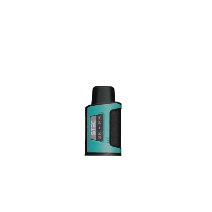
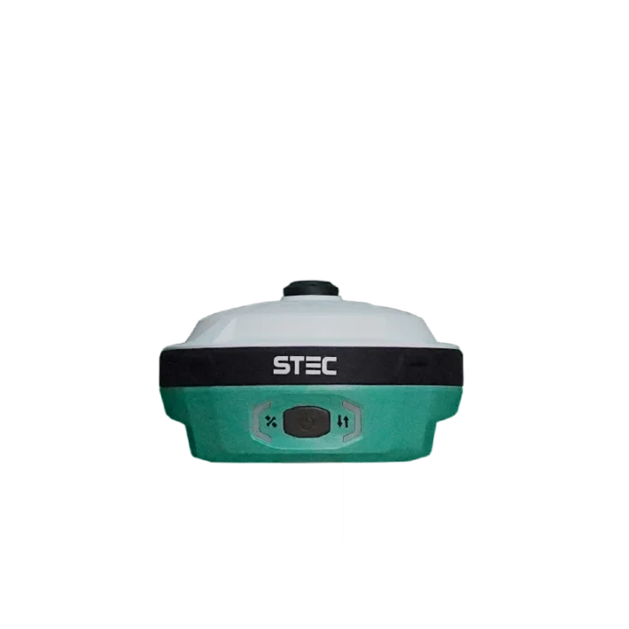
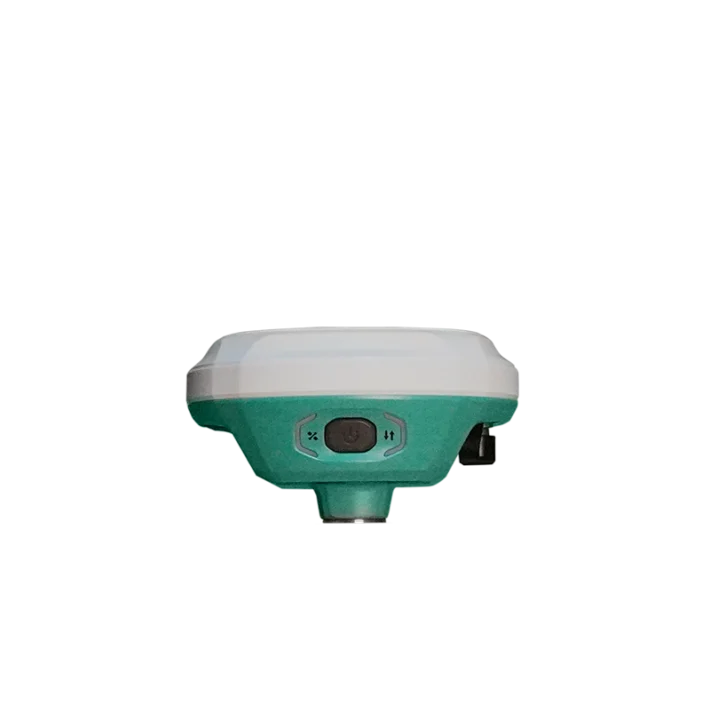
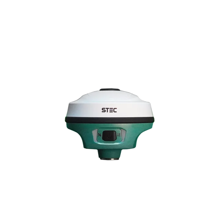
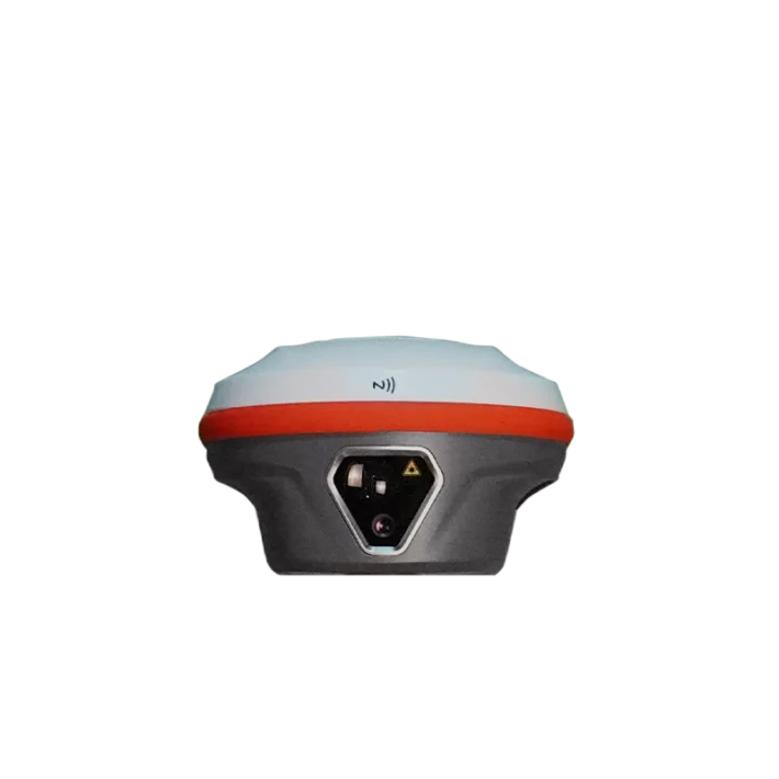
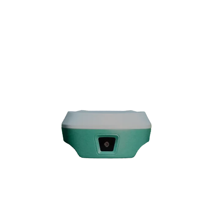
RTK, or Real-Time Kinematic, is a high-precision positioning technology used to determine accurate locations in real time. It combines GNSS satellite signals with correction data from a base station or reference network to significantly improve positioning accuracy.
RTK works by combining signals from GNSS satellites with correction data provided by a base station or reference network.
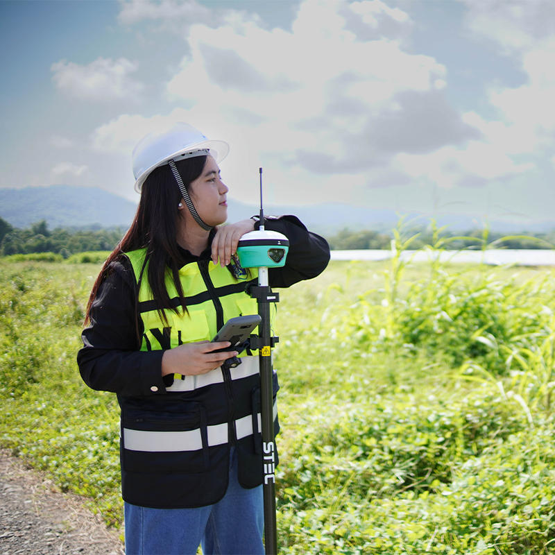
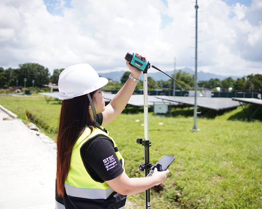
The RTK rover receives satellite signals and correction information, then processes the data in real time to determine its precise position. This allows surveyors to collect accurate coordinates directly in the field without waiting for extensive post-processing.
Under suitable conditions, RTK can provide centimeter-level positioning accuracy.
What Are the Benefits of RTK in Surveying?
RTK technology helps surveying professionals improve accuracy, streamline fieldwork, and complete projects more efficiently. Explore our range of RTK surveying solutions designed to support reliable positioning for surveying and mapping applications.
Key benefits include:
High Accuracy – Provides centimeter-level positioning under suitable conditions.
Real-Time Results – View and use positioning information directly in the field.
Faster Fieldwork – Collect accurate points efficiently and reduce unnecessary rework.
Improved Productivity – Complete surveying and mapping tasks more efficiently.
Versatile Applications – Suitable for surveying, construction, mapping, infrastructure, and more.
What types of surveying projects can benefit from RTK?
Land Surveying – Collect accurate coordinates for land measurement and site surveys.
Construction – Support site layout, elevation checks, and construction positioning.
Topographic Mapping – Capture detailed ground points for terrain models and site plans.
Boundary Surveys – Assist with boundary measurement when used with appropriate survey control and legal procedures.
Infrastructure Projects – Support roadworks, utility surveys, and engineering projects.
GIS and Mapping – Collect accurately positioned spatial data for geographic information systems and mapping applications.
Explore Our RTK Products
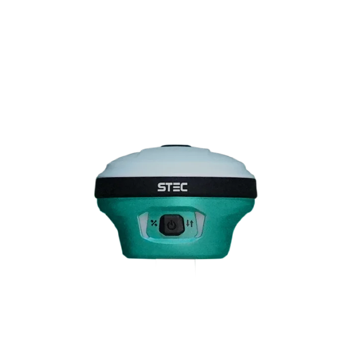
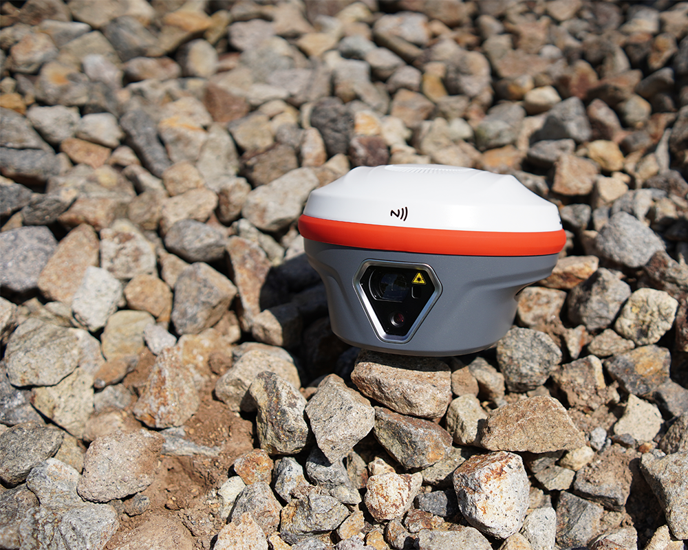
Explore our range of RTK surveying solutions, designed to provide accurate, real-time positioning for efficient and reliable surveying and mapping.