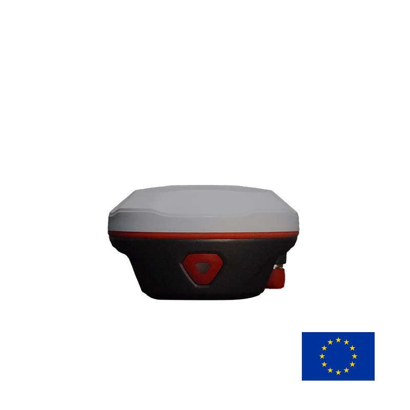
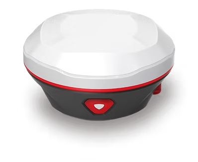
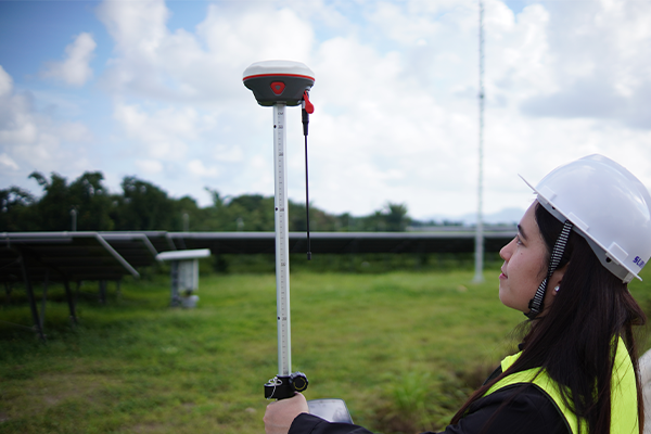
NAVTRON NavX is a high-precision, European-designed RTK GNSS surveying receiver equipped with integrated laser measurement and high-definition camera technology measurements and durable versatility out in the field.
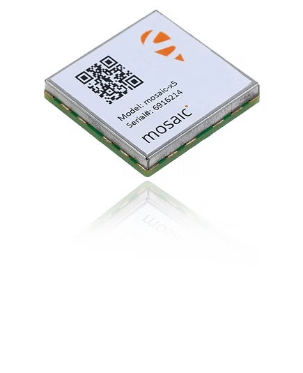
Powered by Septentrio mosaic-x5, N2 delivers rapid initialization, high positioning accuracy, and outstanding reliability in long-baseline RTK applications, making it especially well suited to the needs of professional users in Europe.
Visual Guidance from Start to Precision.
A unique AR stake-out solution that coordinates cameras both on controller and receiver. When you are quite away from the point, the controller shows you the general direction to the point. And when you are steps away from the point, the controller will shift to the camera beneath the receiver seamlessly and show a more accurate guidance to the point.
2W UHF Radio. 20 km Connectivity. Uninterrupted Surveying.
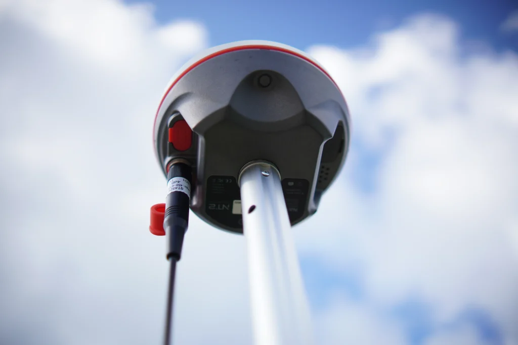
NAVTRON N2 features an integrated 2W UHF transmit-and-receive (Rx/Tx) radio with advanced anti-interference technology designed to mitigate electromagnetic interference. Supporting a communication range of up to 20 km under suitable conditions, the integrated radio provides a stable and reliable GNSS data link between the base and rover, helping maintain consistent real-time correction data transmission across demanding surveying environments.
SEE THE POINT. NAIL THE PRECISION
NAVTRON IMU just eases your work with a outstanding experience. No need for calibration, no need for initialization. In a few seconds after getting fixed, you are in the tilt collect mode. Just tip the pole end to the point, especially those which are not easy to reach, within a tilt range of 60. Fast, easy, and reliable.
A state-of-the-art GNSS receiver that merges industrial-leading inspiring ideas and technologies, offering an efficient and productive solution to no matter amateur or professional
MAIN BENEFITS
Advanced Multi-Constellation Satellite Tracking
Supports GPS, GLONASS, BeiDou, Galileo, QZSS, and SBAS, helping improve satellite availability in suitable field conditions.
Compact and Lightweight Design
Weighs approximately 740 g, helping reduce carrying weight during extended fieldwork.
Rugged Outdoor Construction
Its IP68 rating provides dust and water protection, while the supplied specifications state resistance to a 2 m drop on a hard surface. puterorcompatibledevice.ConfirmtheavailableBluetoothconfigurationandfileformatsbeforepurchasing.
Built-In Camera
Features a 2-megapixel CMOS imaging system to support visual surveying workflows and image-assisted measurement applications where supported by the software.
Multiple Survey Data Formats
Supports RTCM correction formats, NMEA 0183, DAT, RINEX, and BINEX, helping integrate collected data into compatible surveying workflows.
NAVTRON N2
Engineered for Accurate Surveying
GET IN TOUCH
Contact Surveytech today for product inquiries, live demonstrations, and exclusive offers.