New
Fiber Pole
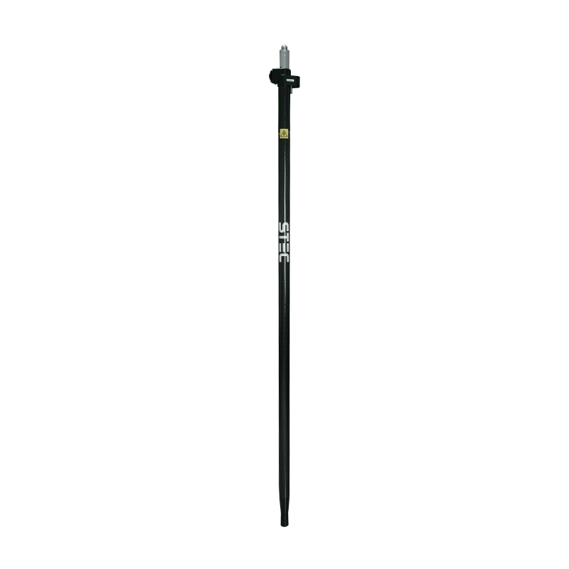
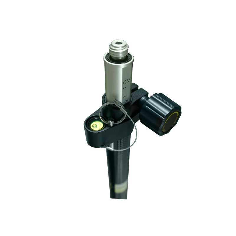
A lightweight fiber pole designed for mounting GNSS RTK rover receivers during field surveying. With its 2-meter length and secure mounting point, it is suitable for land surveying, topographic mapping, and construction stakeout.
Related products
-
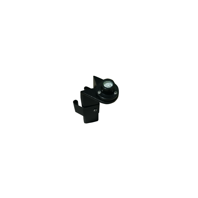
The Surveying Bubble Clip-On Level is a compact leveling accessory designed to help surveyors quickly check the leveling position of compatible surveying instruments. Featuring a…
-
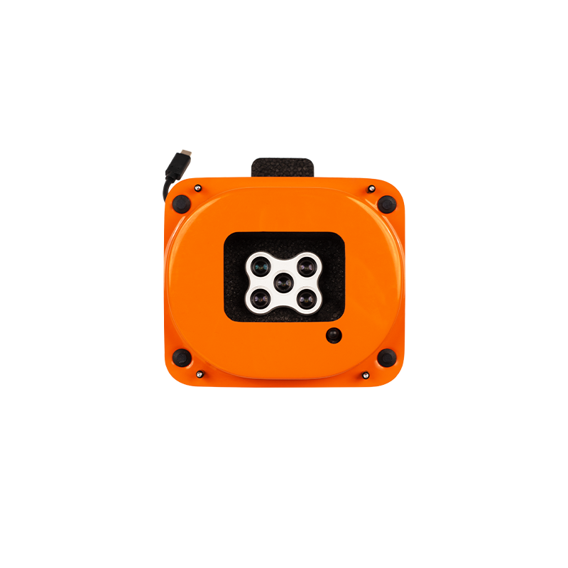
The MicaSense RedEdge-P multispectral camera captures five narrow spectral bands and RGB in one flight. Use the imagery to create vegetation indices and detailed maps…
-
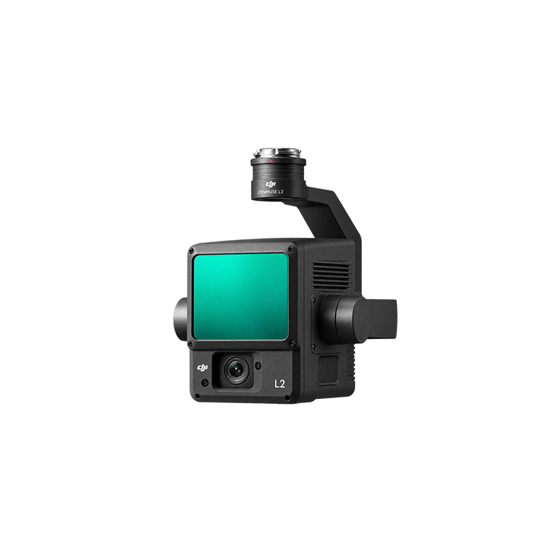
The DJI Zenmuse L2 is a high-precision LiDAR surveying and mapping sensor designed for DJI enterprise drones. It uses laser technology to measure distances and…
-
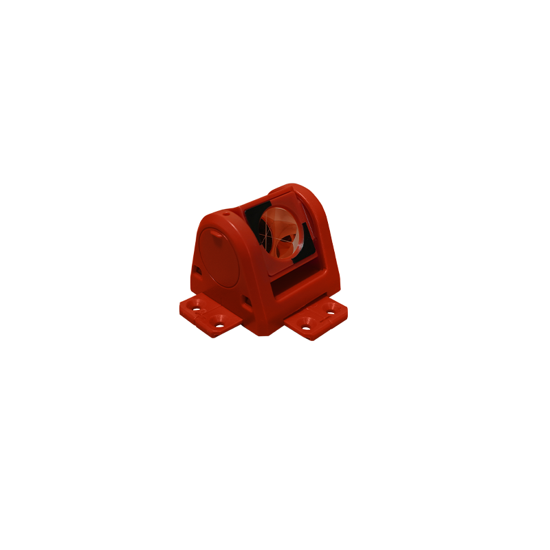
A wall-mounted surveying target designed for installation on buildings, bridges, and other structures to establish fixed reference points for surveying, alignment, and deformation monitoring. Available…