STEC SDC

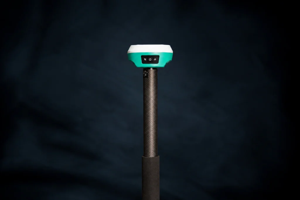
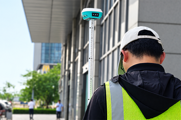
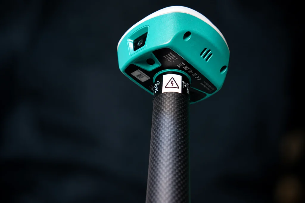
The STEC SDc is an ultra-compact, pocket-sized RTK GNSS receiver used for high-precision geospatial surveying

Dual HD Cameras. Smarter AR Stakeout. Unmatched Precision.

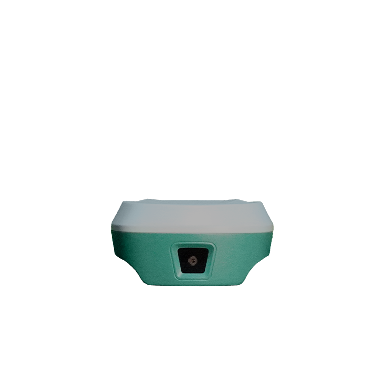
Equipped with two high-definition cameras strategically positioned on the front and bottom, the STEC SDC enhances visual data acquisition and spatial positioning for AR-based stakeout operations, delivering improved targeting precision, alignment accuracy, and a more stable, efficient field layout workflow.

120° IMU Tilt Compensation. Precision at Every Angle.

Engineered with a high-precision Inertial Measurement Unit (IMU) supporting tilt measurement up to 120°, the STEC SDC enables tilt-compensated point measurement on sloped and uneven terrain, improving field measurement flexibility and surveying efficiency without requiring the pole to remain perfectly vertical.

Bring Digital Designs to Life with Real-Time Precision.

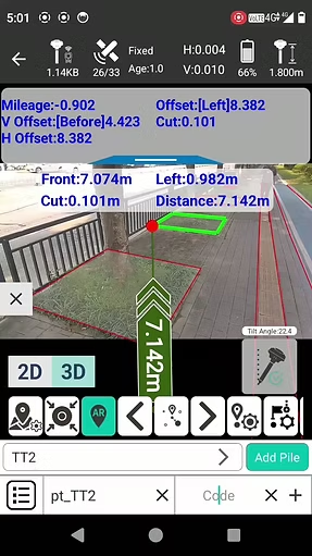
Visualize your design directly in the real world with STEC SDc AR CAD Stakeout. Seamlessly overlay CAD data onto the live site view and see exactly where design elements belong. With real-time visual guidance, points, lines, and complex layouts become easier to understand and stake out in the field.
MAIN BENEFITS

Provides horizontal accuracy of 8 mm + 1 ppm and vertical accuracy of 15 mm + 1 ppm in RTK mode, supporting precise surveying and construction layout.

Multi-Constellation Satellite Tracking

 Supports GPS, GLONASS, BeiDou, Galileo, QZSS, SBAS, and other listed signals to improve satellite availability.

Features a guide light to assist prism holders in aligning with the instrument

Weighs only 429 g, reducing the load on the survey pole and making extended fieldwork more comfortable.

Supports positioning rates from 1 to 50 Hz for responsive positioning and data collection.

STEC SDC

Engineered for Accurate Surveying

GET IN TOUCH

Contact Surveytech today for product inquiries, live demonstrations, and exclusive offers.