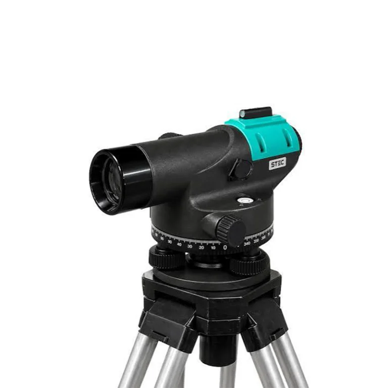
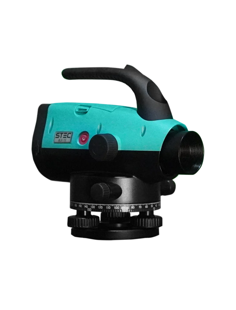
RTK (Real-Time Kinematic) is a positioning technology used in surveying to achieve highly accurate location measurements in real time. It uses correction signals from a base station or reference network to improve the positioning accuracy of a GNSS receiver, allowing surveyors to determine precise coordinates for mapping, construction, and other surveying applications.
RTK uses GNSS satellite signals and correction data from a base station or reference network to provide highly accurate positioning in real time. This allows surveyors to achieve centimeter-level accuracy for mapping, construction, and other surveying applications.
Benefits of levels in Surveying
RTK provides highly accurate, real-time positioning, helping surveyors complete mapping, construction, and land surveying tasks faster and more efficiently.
Benefits of levels in Surveying
RTK provides highly accurate, real-time positioning, helping surveyors complete mapping, construction, and land surveying tasks faster and more efficiently.
What types of surveying projects can benefit from Levels?
RTK is ideal for land surveying, construction, topographic mapping, boundary surveys, and infrastructure projects that require accurate, real-time positioning.
Explore Our Levels Products
Explore our range of RTK surveying solutions, designed to provide accurate, real-time positioning for efficient and reliable surveying and mapping.