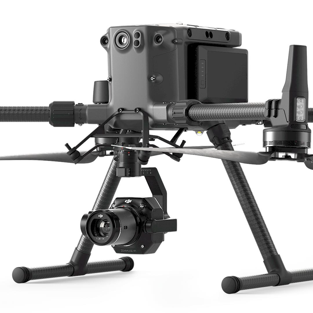
ZENMUSE P1

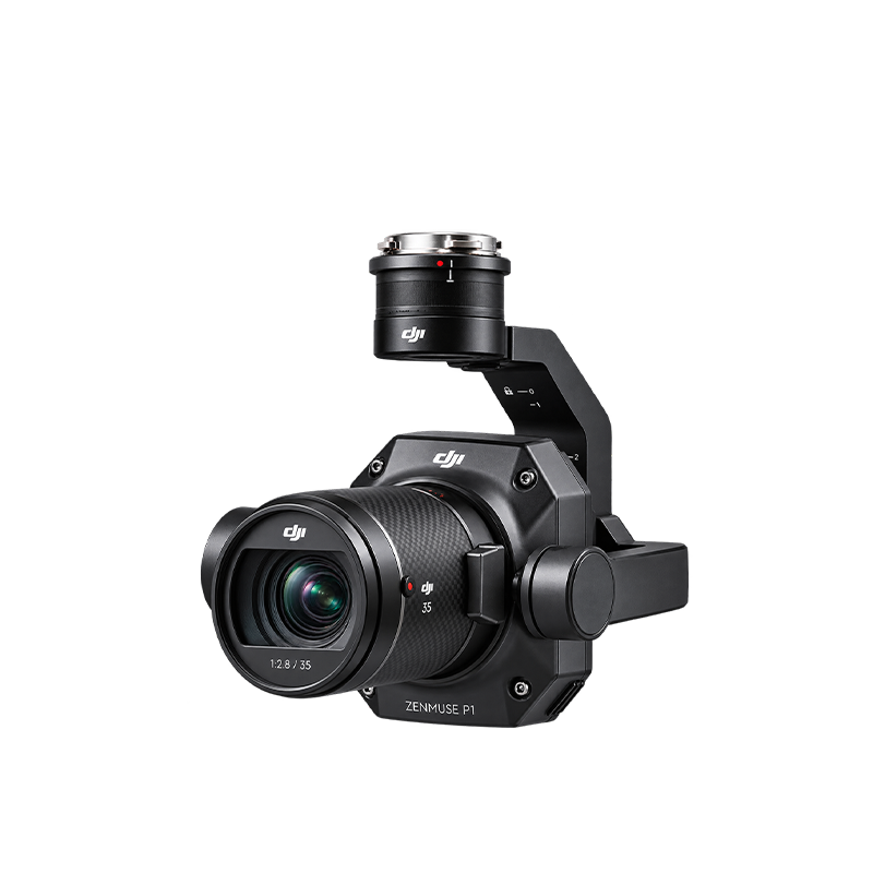
The DJI Zenmuse P1 is a professional drone-mounted mapping camera designed for land surveying, aerial photography, and high-accuracy 2D and 3D mapping. Unlike the Zenmuse L2, which uses LiDAR laser scanning, the P1 creates maps and models primarily from overlapping photographs

  • 45 MP full-frame camera — Captures high-resolution aerial images.
  • Centimeter-level accuracy — 3 cm horizontal and 5 cm vertical under specified mapping conditions.
  • Interchangeable lenses — Supports 24 mm, 35 mm, and 50 mm DJI DL lenses.
  • Global mechanical shutter — Reduces image distortion during drone flight.
  • Fast image capture — Minimum photo interval of 0.7 seconds.
  • Smart Oblique Capture — Captures images from multiple angles for 3D reconstruction.
  • 3-axis stabilized gimbal — Helps maintain stable camera orientation.
  • TimeSync 2.0 technology — Synchronizes camera, gimbal, flight controller, and RTK timing.
  • High mapping efficiency — Can cover up to 3 km² in a single flight under specified conditions.
  • Multiple mapping applications — Supports orthomosaic maps, 3D models, corridor mapping, and detailed surveying.

Description

Parameter

Specification

Sensor Type

Full-frame RGB CMOS

Effective Resolution

45 MP

Image Resolution

8192 × 5460 pixels

Sensor Size

35.9 × 24 mm

Pixel Size

4.4 µm

Supported Lenses

24 mm, 35 mm, 50 mm DJI DL

Shutter Type

Mechanical and electronic

Maximum Mechanical Shutter Speed

1/2000 s

Minimum Photo Interval

0.7 seconds

Photo Formats

JPEG, DNG, JPEG + DNG

Video Resolution

Up to 4K at 60 fps with supported lens

Gimbal

3-axis stabilized

Payload Weight

Approx. 800 g

Dimensions

198 × 166 × 129 mm

Protection Rating

IP4X

Power Consumption

20 W

Operating Temperature

−20°C to +50°C

Aircraft Compatibility

DJI Matrice 300 RTK, Matrice 350 RTK, Matrice 400