WINGTRA LIDAR

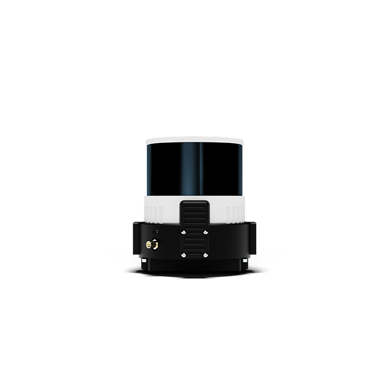
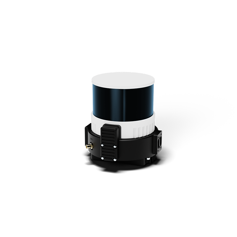
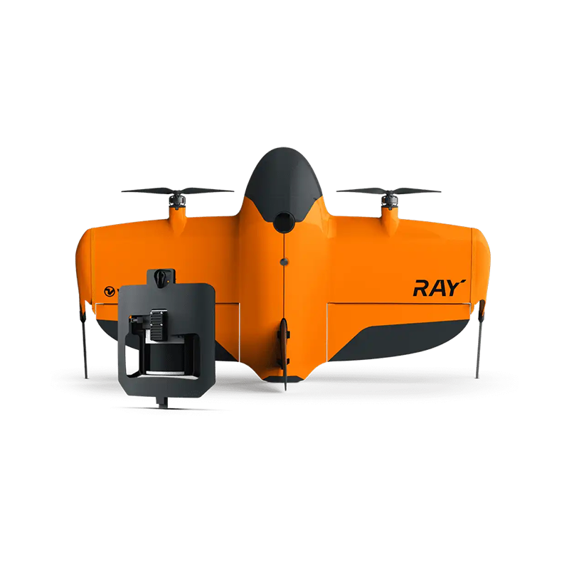
The Wingtra LiDAR is an integrated aerial laser-scanning solution designed to capture high-density 3D point clouds for professional surveying and mapping. It combines a laser scanner, tactical-grade IMU, and high-precision GNSS positioning with post-processed kinematic (PPK) georeferencing.

  • LiDAR Sensor: Hesai XT32M2X
  • Laser Wavelength: 905 nm
  • Measurement Range: 0.5–300 m
  • Field of View: 90° horizontal × 40.3° vertical
  • Maximum Returns: 3 returns
  • Field of View: 90° horizontal × 40.3° vertical
  • Maximum Returns: 3 returns
  • Pulse Rate: Up to 1.92 million pulses/s
  • Point Density: 110 points/m² at 45 m AGL, single pass
  • Positioning: GNSS + tactical-grade IMU
  • Georeferencing: PPK supported

Description

Parameter

Specification

Laser scanner

Hesai XT32M2X

Sensor type

Rotating LiDAR

Laser wavelength

905 nm

Maximum range

Up to 300 m

Range at 10% reflectivity

80 m

Horizontal field of view

90°

Vertical field of view

40.3°

Maximum returns

3

Pulse rate

Up to 1,920,000 pulses/s (triple return)

Payload weight

Approximately 1.03–1.06 kg, including mount

Data output

LAS and LAZ point clouds