

WINGTRA RAY
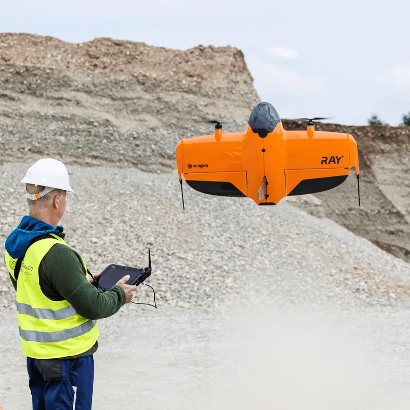
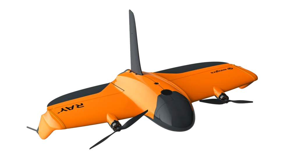
The WingtraRAY is a professional Vertical Take-Off and Landing (VTOL) drone designed for high-accuracy aerial surveying, mapping, and geospatial data collection. It combines the vertical take-off and landing capability of a multirotor drone with the efficient forward flight of a fixed-wing aircraft. This allows it to operate in areas where a runway is not available while covering large areas efficiently.
Rise Vertically, Land Anywhere.
Longer Flight Endurance, Bigger Coverage, Uninterrupted Productivity
Designed for demanding aerial surveying and large-scale mapping projects, the WingtraRAY’s long flight endurance enables operators to cover extensive areas efficiently while minimizing unnecessary interruptions. With three additional sets of batteries, field charging equipment, and essential spare parts, this bundle supports quick battery swaps, efficient field operations, and reduced downtime between flights. Maximize productivity, maintain operational readiness, and accomplish more in the field with a reliable setup built for extended mapping missions and large-scale projects.
Fly Longer, Map Bigger, Work Without Limits
Built for heavy flyers with large projects requiring multiple flights, this bundle ensures uninterrupted flying, even when mapping large projects. Deploy all-day operations thanks to three extra sets of batteries that allow for swift battery swaps, field charging equipment, and spare parts that ensure maximum uptime.
The heavy-flyer bundle is an all in one easy to carry hardcase that contains everything you need to conduct multiple flights in one day with peace of mind: 3 sets of batteries, field charging equipment that connects to your car battery, 2 SD cards, 1 anemometer, 3 pairs of propellers, 2 landing gear fins, 1 screwdriver for drivetrain and parachute replacement.
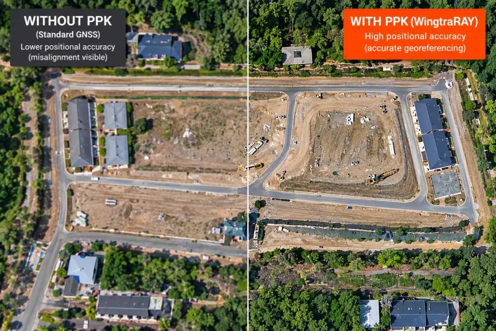
High-Accuracy Positioning (PPK
WingtraRAY uses Post-Processed Kinematic (PPK) technology to improve the accuracy of the geographic coordinates recorded during aerial surveying by combining GNSS data collected by the drone with reference data from a ground-based GNSS station. This process corrects positioning measurements after the flight, allowing aerial images to be accurately georeferenced and helping produce reliable, high-quality mapping outputs, such as orthomosaics, topographic maps, and 3D models, while reducing the need for numerous ground control points when the appropriate survey workflow is used.
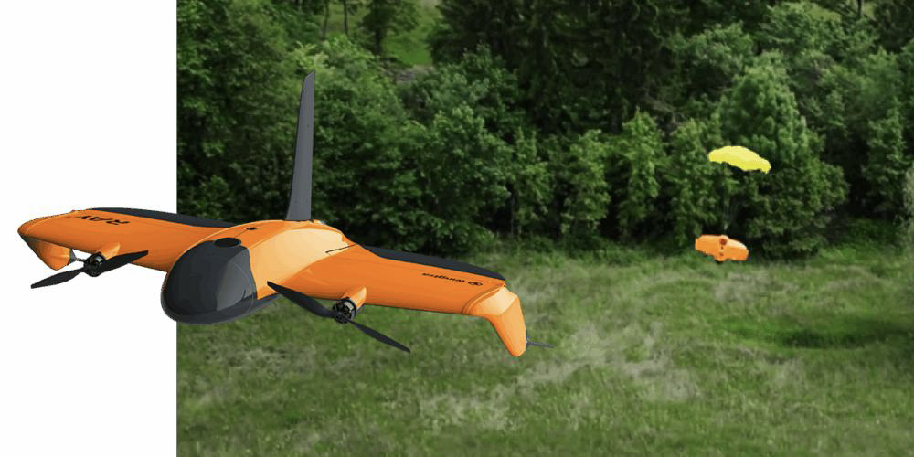
Enhanced Safety, Added Protection, Greater Peace of Mind
The parachute is an easy-to-install add-on that comes with a manual trigger device. In the rare event every other backup—such as manual takeover or Return-to-Home—malfunctions, you can deploy the parachute manually, to safeguard people and property below. Each purchase also includes a one-year OOP (Operations Over People) license, ensuring immediate compliance in relevant regions.
THE PERFECT PAYLOAD FOR EVERY PURPOSE.

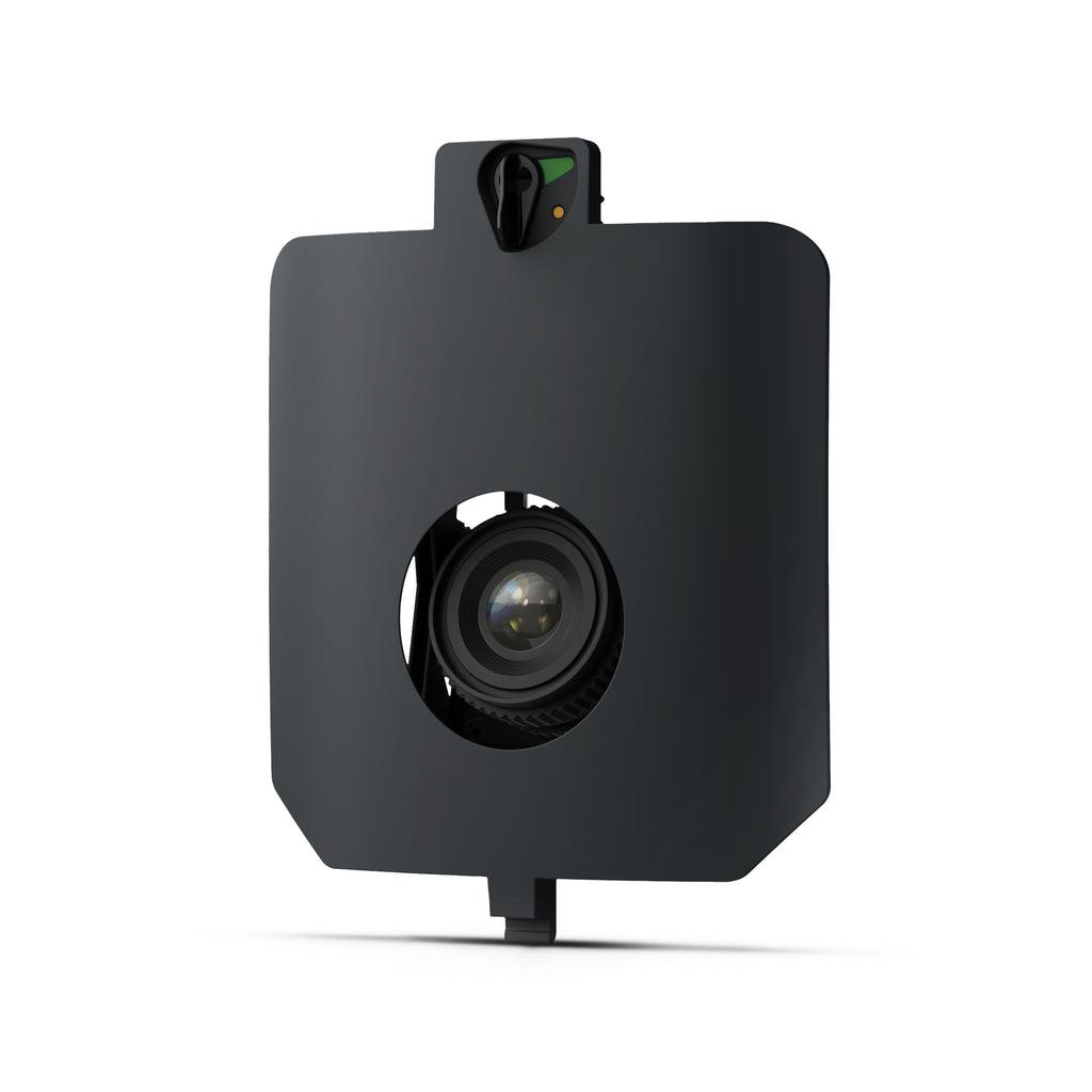
MAP61 — RGB Mapping
61 MP full-frame sensor · Wide-angle, low-oblique configuration Best for large-area mapping, orthomosaics, 3D models, point clouds, and digital surface models.
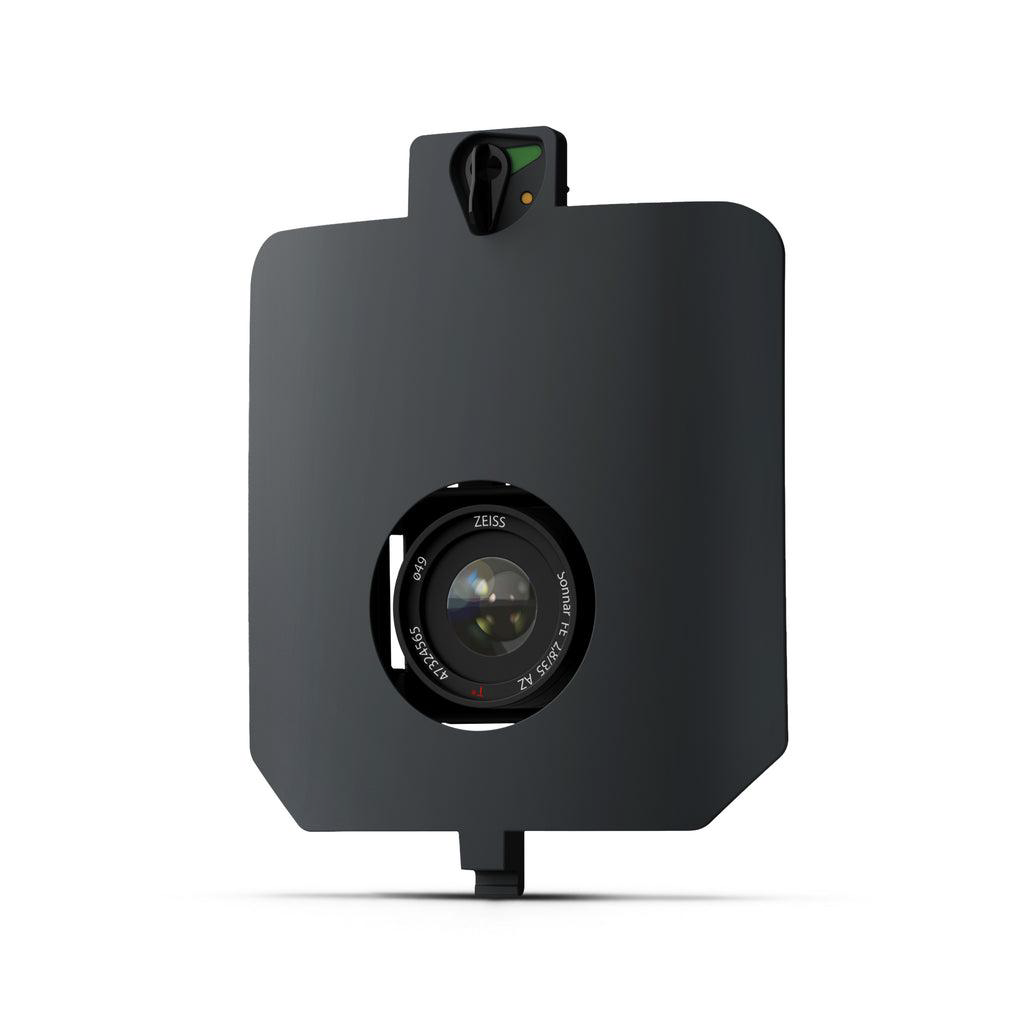
SURVEY61 — Survey-Grade RGB
61 MP full-frame sensor · 35 mm low-distortion lens Designed for high-quality photogrammetry and precise surveying workflows.
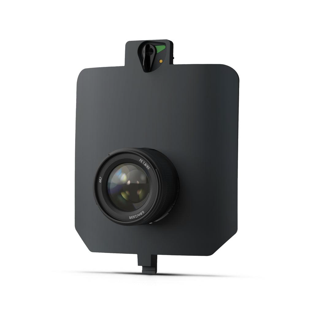
INSPECT
61 MP full-frame sensor · 85 mm telephoto lens For high-detail infrastructure inspections, railways, and linear assets.

SURVEY24 — RGB Mapping
24 MP · APS-C sensor · 20 mm low-distortion lens An economical option for mapping, topographic surveys, and general photogrammetry.
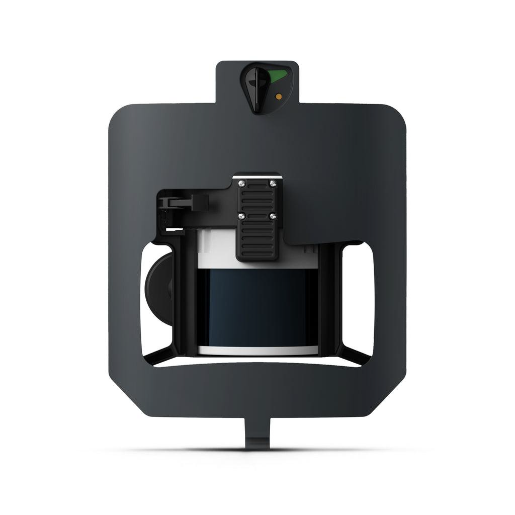
Wingtra LiDAR — Laser Scanning
LiDAR laser scanner For dense point clouds, terrain modeling, and mapping ground beneath vegetation.
