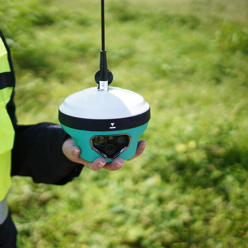
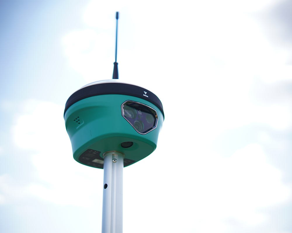
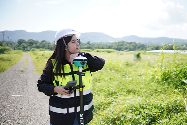
The STEC SDi is an advanced 2 in 1 laser GNSS RTK receiver that integrates total-station-grade reflectorless laser EDM (Electronic Distance Measurement) and dual stellar cameras for visual AR (Augmented Reality) stakeout measurements, and durable versatility out in the field
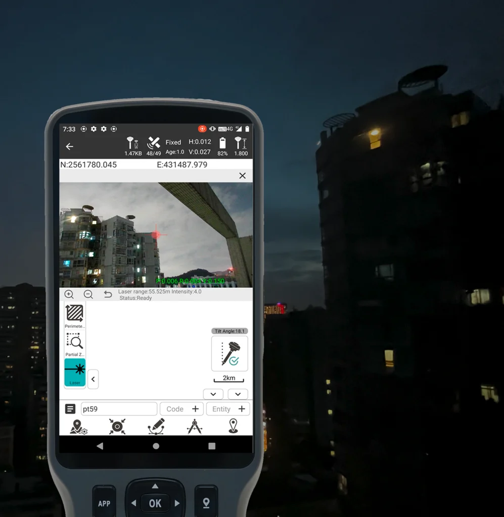
A survey-grade EDM unit, powered by Automatic Gain Control, can adapts different intensity of light and guarantees a reliable measurement up to 70m.
Assisted by an advanced IMU and unique algorithm, SDi can collect the coordinates where the laser shoots with an accuracy of 2cm in 5m.
Stake out a remote point with laser is one of a kind application that SDi is capable of.
Slope distance, as well as other information such as reflection intensity and working status, are shown and refreshed in real-time.
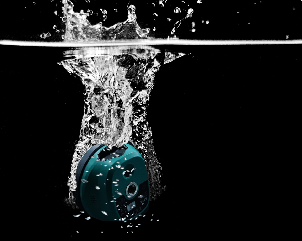
Complied with the harshest
standard of IP68 water and dust
proof industry, SDi can survive
in water at 1m depth for at least
1 hour even in power-on status.
LASER FIX
Adopting a large signal-receiving sensor and distance measuring technology heritaged from total station, SDi can get the coordinates on the point where you shoot the laser, with an accuracy of less than 2cm within 5m and 3cm within 10m. It’s always been a headache when we intend to measure a remote point which is hard to reach, such as points across a river or road with running cars, or points inside the fenceor under the building where satellite signal is not optimistic.
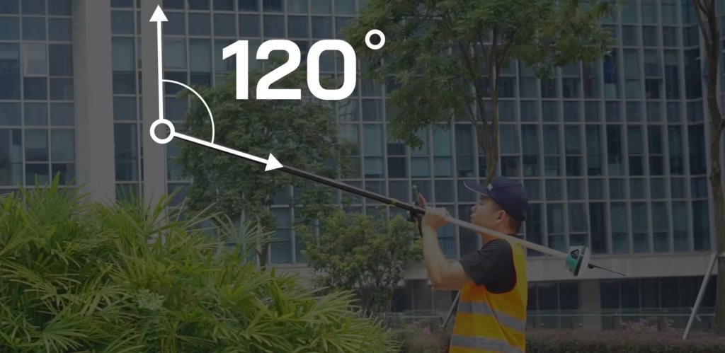
Advanced Tilt Compensation for Flexible Point Measurement
enhances field surveying flexibility by enabling tilt-compensated point measurement without requiring the survey pole to remain perfectly vertical. By accounting for pole inclination during measurement, EZ Tilt helps determine target point coordinates more efficiently, reducing the need for precise pole leveling and improving operational convenience in confined spaces and challenging terrain. This capability streamlines field workflows while supporting accurate point acquisition in demanding surveying environments.
STELLAR CAMERAS
Stellar camera has an incomparable performance in dark environment compared with ordinary camera of others. No matter stake-out, or LaserFix in the dark, we can get clear and bright images and make accurate maneuver.
Dual-Camera Guidance. Precision at Every Point.
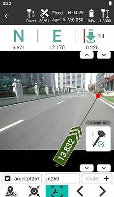
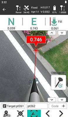
Dual cameras on the receiver immensely improve the accuracy and directivity during AR state out. And this is the Generation 2 of STEC fusionAR. The front camera first shows the direction and distance of the point to stake out. And when it comes closer, it will smoothly shift to the bottom camera to show a more accurate direction until you pin on the right point. All operations only require one click to activate.
MAIN BENEFITS
Multi-Constellation Satellite Tracking
Supports GPS, GLONASS, BeiDou, Galileo, and QZSS, improving satellite availability for surveying.
Built-In 1080p HDR Camera
Captures visual information to support image-assisted surveying and stakeout.
Rugged IP68 Protection
Provides dust and water protection for demanding outdoor surveying environments.
High-Precision RTK Positioning
Provides stated horizontal accuracy of 8 mm + 1 ppm and vertical accuracy of 15 mm + 1 ppm in RTK mode under suitable conditions.
Long Battery Life
Offers up to 20 hours in static mode and 15 hours in rover mode, according to the published specifications.
STEC SDI
Engineered for Accurate Surveying
GET IN TOUCH
Contact Surveytech today for product inquiries, live demonstrations, and exclusive offers.