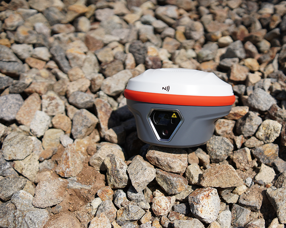
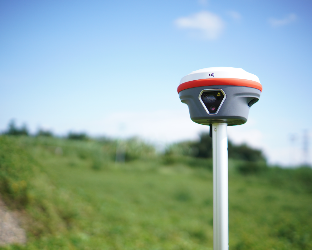
The NAVTRON NavX is a high-precision, European-designed RTK GNSS surveying receiver equipped with integrated laser measurement and high-definition camera technology measurements and durable versatility out in the field.
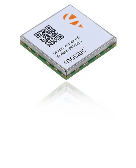
Powered by Septentrio mosaic-x5, Nav X delivers rapid initialization, high positioning accuracy, and outstanding reliability in long-baseline RTK applications, making it especially well suited to the needs of professional users in Europe.
Long-Range Capability. Precision You Can Trust.
Paired with a HD camera, its precise laser ranging system lets surveyors efficiently measure hard-to-reach points. With 3cm accuracy within
10m and 70m maximum range, it suits diverse surveying tasks.
Advanced IMU Tilt Compensation for Precise Measurements
The high-performance IMU enables fast and reliable tilt compensation,allowing surveyors to capture points more efficiently without compromising accuracy. It also plays a key role in supporting the precision and consistency of laser-based measurements.