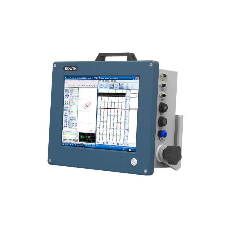
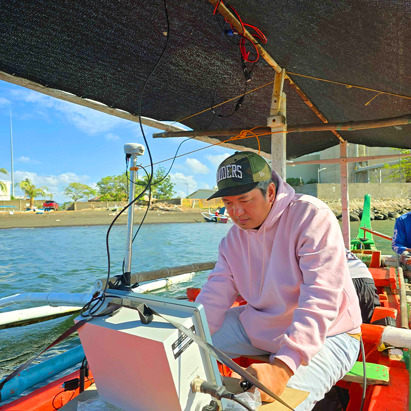
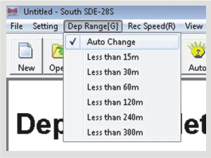
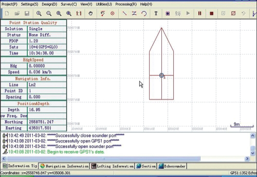
SOUTH SDE-28S+ Single-Frequency Digital Echo SounderDesigned for measuring water depth and collecting underwater profile data for hydrographic and bathymetric surveys. It integrates depth measurement, graphical display, onboard data processing, and navigation functions. INQUIRE US USE CASES River, lake, and reservoir surveys Bathymetric and underwater topographic mapping Harbor and navigation channel surveys Dredging and water-depth monitoring KEY FEATURES High-Precision Depth Measurement Measures water depth with a published resolution of 0.01 m and stated accuracy of ±1 cm ± 0.1% of depth Real-Time Underwater Profiling Displays live depth readings and graphical underwater profiles to help surveyors visualize underwater terrain. Automatic Depth-Range Switching Automatically adjusts the depth range to support convenient and efficient field measurements. GNSS and Navigation Integration Supports compatible GPS/GNSS devices for positioning and hydrographic survey navigation. Shallow-Water and No-Echo Alarms Provides alerts and echo-tracking functions to help identify shallow water and missing echo returns. 12.1-Inch Integrated Touchscreen Combines the echo sounding unit, industrial computer, data processor, and display in one instrument. Advanced Signal and Sound-Velocity Controls Features AGC/TVG gain controls and integrated sound-velocity calculation to support depth measurement. Onboard Data Storage and Playback Records depth measurements for later review and supports survey data management through its onboard software. Rugged Aluminum Construction Compact industrial housing designed for demanding hydrographic fieldwork. Software & Operation SDE-28S+ Depth Measurement Software Real-time numerical depth readings and graphical underwater profilesAutomatic depth-range switchingIntegrated sound-velocity calculationShallow-water alarmNo-echo detection and trackingReal-time depth tracking linesAdjustable measurement parameters PowerNav Navigation Software Engineering map and survey-line managementGraphical navigation and positioning displayCompatibility with GPS/GNSS devices exporting NMEA-0183 dataFlexible import and export of survey dataNavigation-line planning and graphical survey managementDepth-data storage and replay, reported up to 24 hours in the brochure GNSS Integration & Survey Workflow GNSS Receiver (NMEA-0183) Horizontal position and survey coordinates SDE-28s+ Echosounder Measures water depth and records the underwater profile Hydrographic Survey Data Positioned depth observations for bathymetric mapping and analysis GET IN TOUCH Contact Surveytech today for product inquiries, live demonstrations, and exclusive offers. Contact us