WingtraOne

A mapping drone for fast and accurate surveying data every time
Do a lot of work in a short time
With WingtraOne, you get your data much faster than with other tools, even for large areas.
- Cut mapping time
- Reduce labor cost
- Move on with other projects
Maximum Coverage with one flight
at 1.9cm/px (0.75 in/px) GSD

WingtraOne
61MP | 310ha
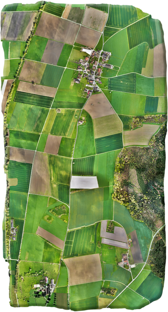

Other fixed-wing
20MP | 170ha
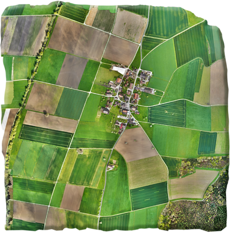

Multicopter
20MP | 29ha

Get high-accuracy data every time
Thanks to years of continuous improvements, the WingtraOne drone consistently delivers data of high resolution and accuracy.
GSD down to
0.7 cm/px
(0.3 in/px)
Absolute horizontal accuracy down to
1 cm
(0.4 in)
A drone that's easy to use
WingtraOne’s simplified workflow and intuitive system allow surveyors with little to no drone flight experience to fly with confidence after minimal training.
- Small learning curve
- Complete bundle to start from day one
- Intuitive software and fully-automated flights
- Top-rated customer support
Talk to Us
Contact us now! Our Experts can
- Answer any questions about
- Talk about your business and operational needs
- Advise you about drone use
- Provide you with a quote
A drone that's easy to use
Find out more about how surveying professionals in your industry have used WingtraOne to improve decisions and reduce costs.
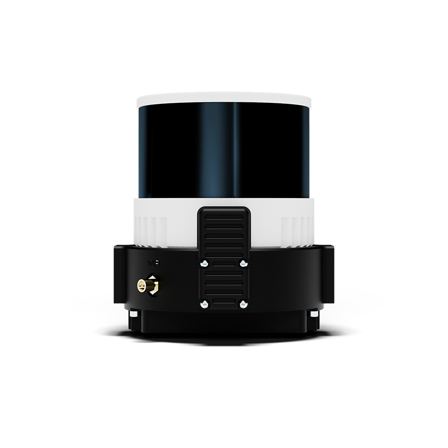
LIDAR
Wingtra LIDAR combines efficiency, ease of use, and reliability to create exceptional digital terrain models, revealing terrain beneath vegetation.
RGB
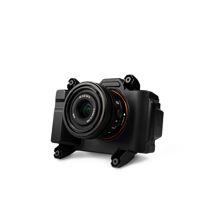
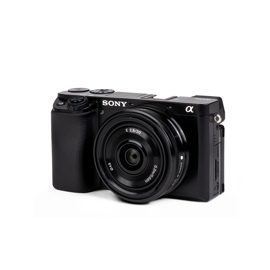
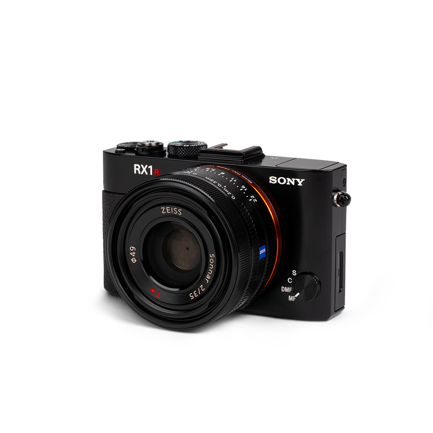
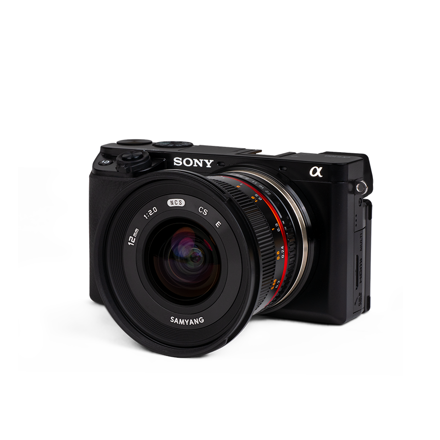
WingtraOne GEN II integrates high-end compact sensors from Sony. They allow you to capture the sharp images and fine details that are required for the most demanding aerial mapping applications.
RGB Oblique
Optimized to map vertical structures, the Oblique Sony ɑ6100 allows you to generate high-resolution 3D meshes with centimeter-level absolute accuracy.
Multispectral
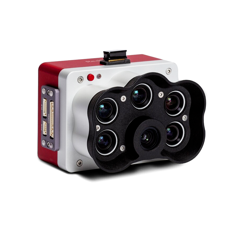
WingtraOne integrates the industry-leading sensors from MicaSense, providing optimal spectral and spatial resolution for aerial mapping applications such as agriculture, forestry, environmental research and water management.
