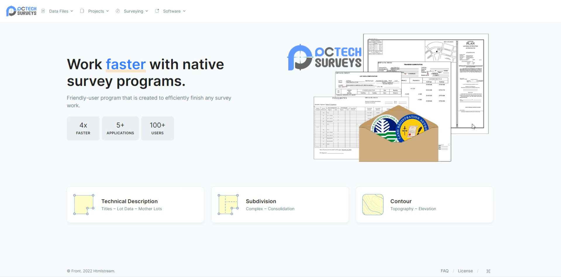
PCTech Surveys
All in one surveying software
Stand Alone Interface
PCTech Surveys has interface outside of AutoCAD. A better way to view numerical & graphical data. Easily identify and apply adjustment and correction before generating output.
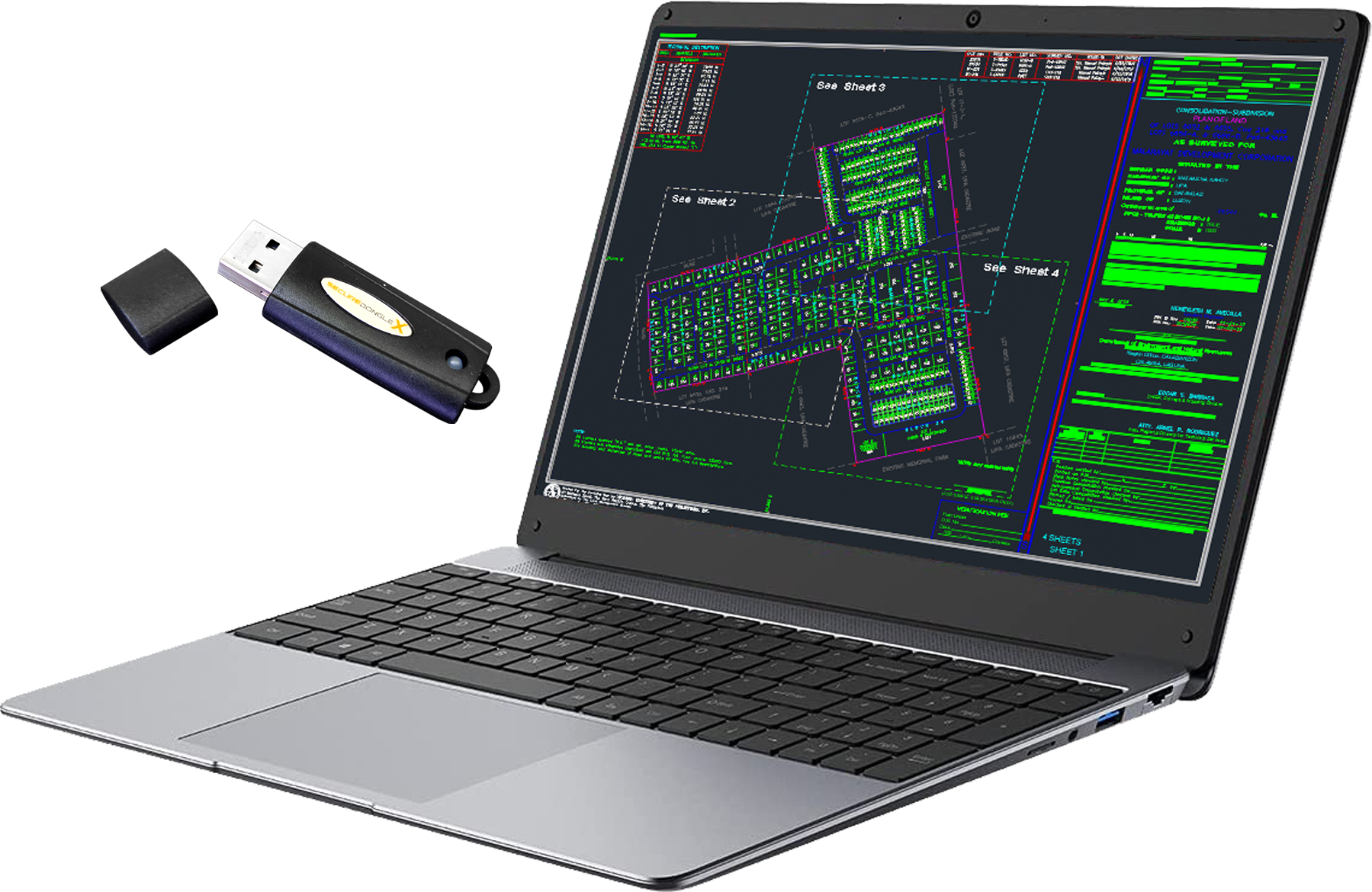
Dongle Key
PCTech Surveys uses dongle key license that works with multiple devices.
Tie Point Database
PCTech Surveys uses dongle key license that works with multiple devices.
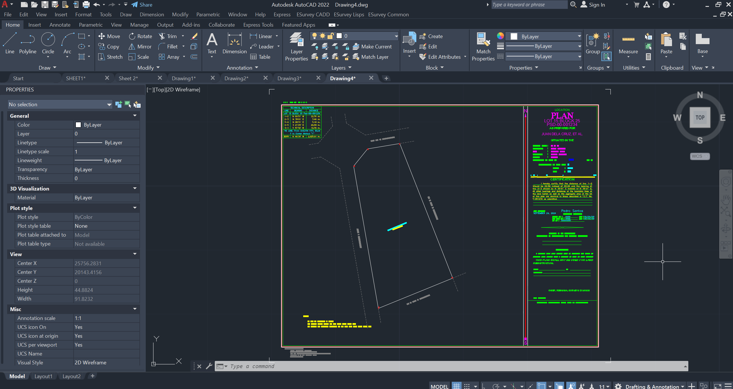
AutoCAD Data Exchange
PCTech Surveys has the capability to import and export AutoCAD data. Users can still work with AutoCAD and PCTech Survey, side to side.
Other Features
Google Earth KML
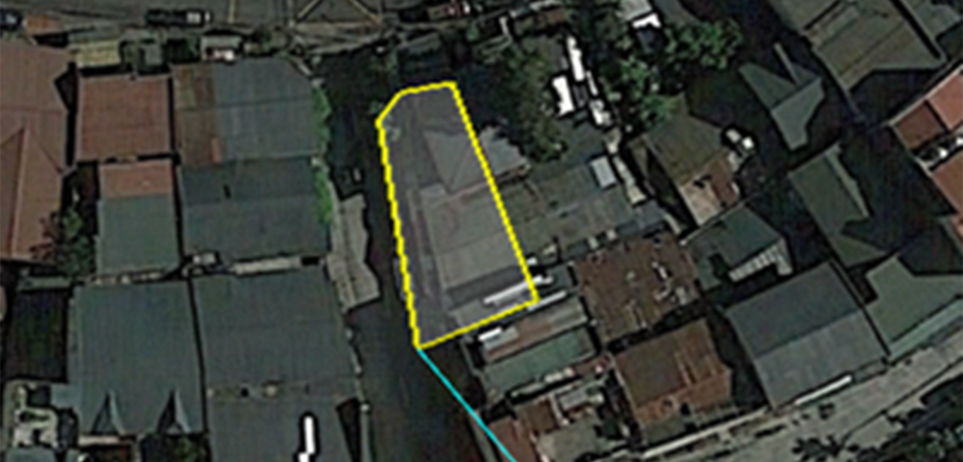
Generate Google Earth KML File for viewing the lot on the satellite view. Lets you know the relative location of the lot to the ground.
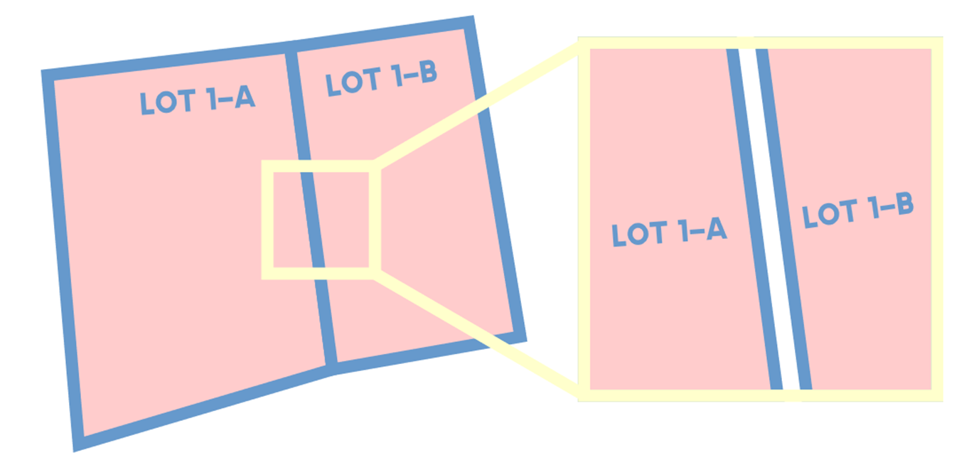
Multi-Lot Adjustment
PCTech Surveys can apply transit or compass adjustment on multiple lots at the same time preventing lot overlapping and separation. Creating a consolidation boundary for your projuct
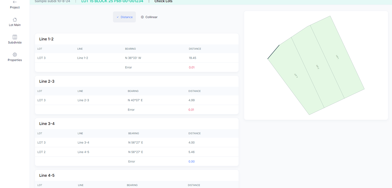
Subdivision
PCTech Surveys helps you with data checking to prevent editing generated survey returns.
• Area Check – shows you a table of declared area and computed area
• Distance Check – checks if the subdivided lot distances are equal to the boundary distances
• Corner Numbering – select corner 1 of lots for common point.
• Lot Numbering – auto-generate lot numbering
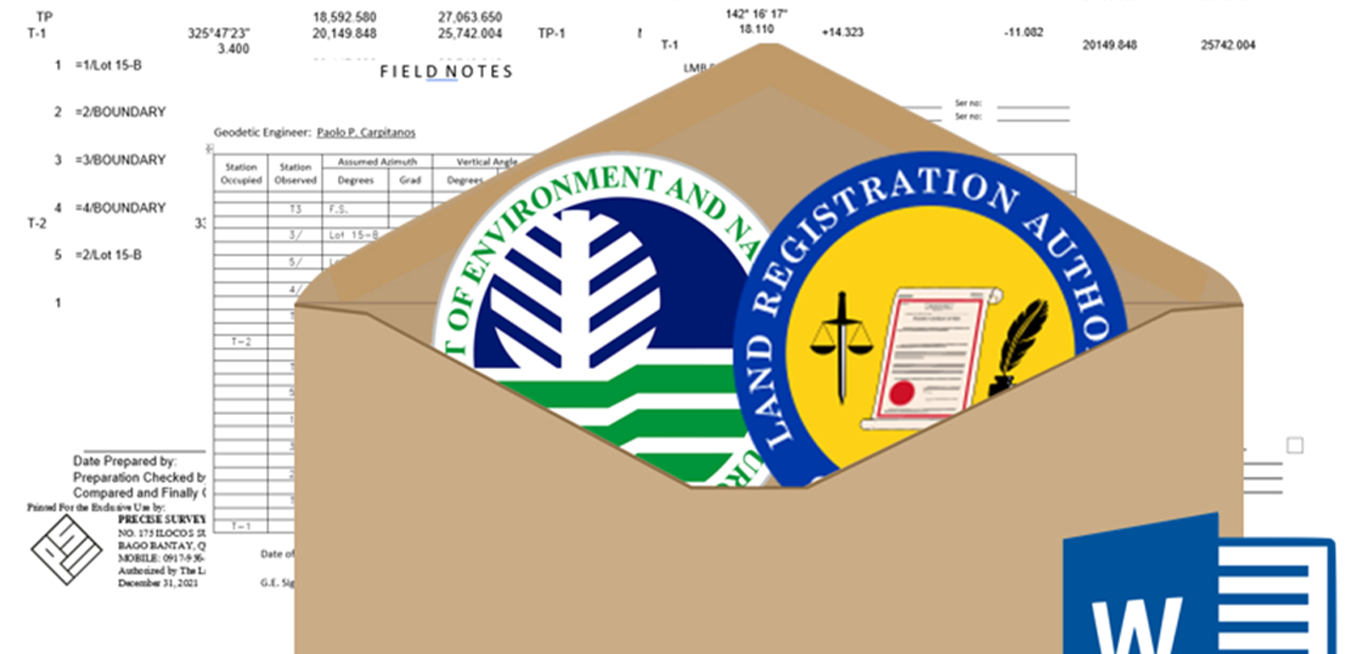
Subdivision Survey Returns
PCTech Surveys can generate surveys returns for you project in word file.
• Lot Data Computation
• Field Notes Cover and Inside
• Traverse Computation
• Lot Descriptions
• BL Form Plan
• Transmittal
• DLSD : ESurveyPlan File
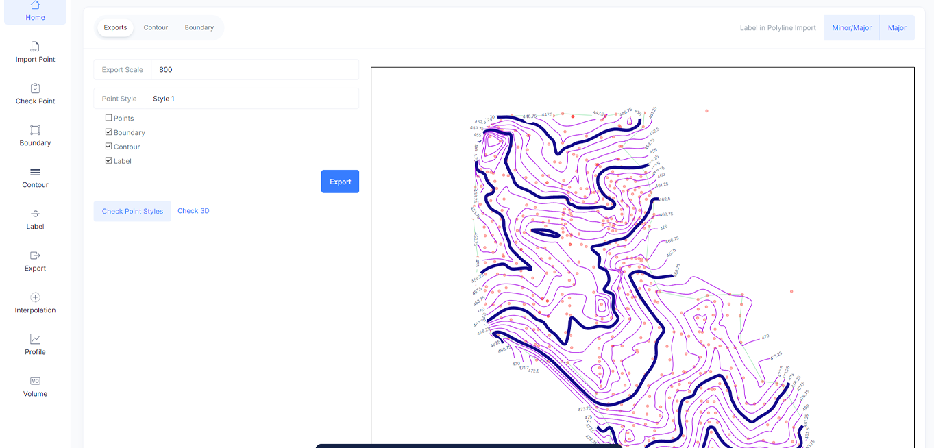
Topographic Contour
PCTech Surveys have a easy workflow to generate a contour from your ground collected points from your RTK or Total Station.
Updates & Improvements

