Thank You, ENGR. FERNANDEZ! Your trust in choosing the STEC RTK means the world to us. Rest assured, you’re equipped with the …
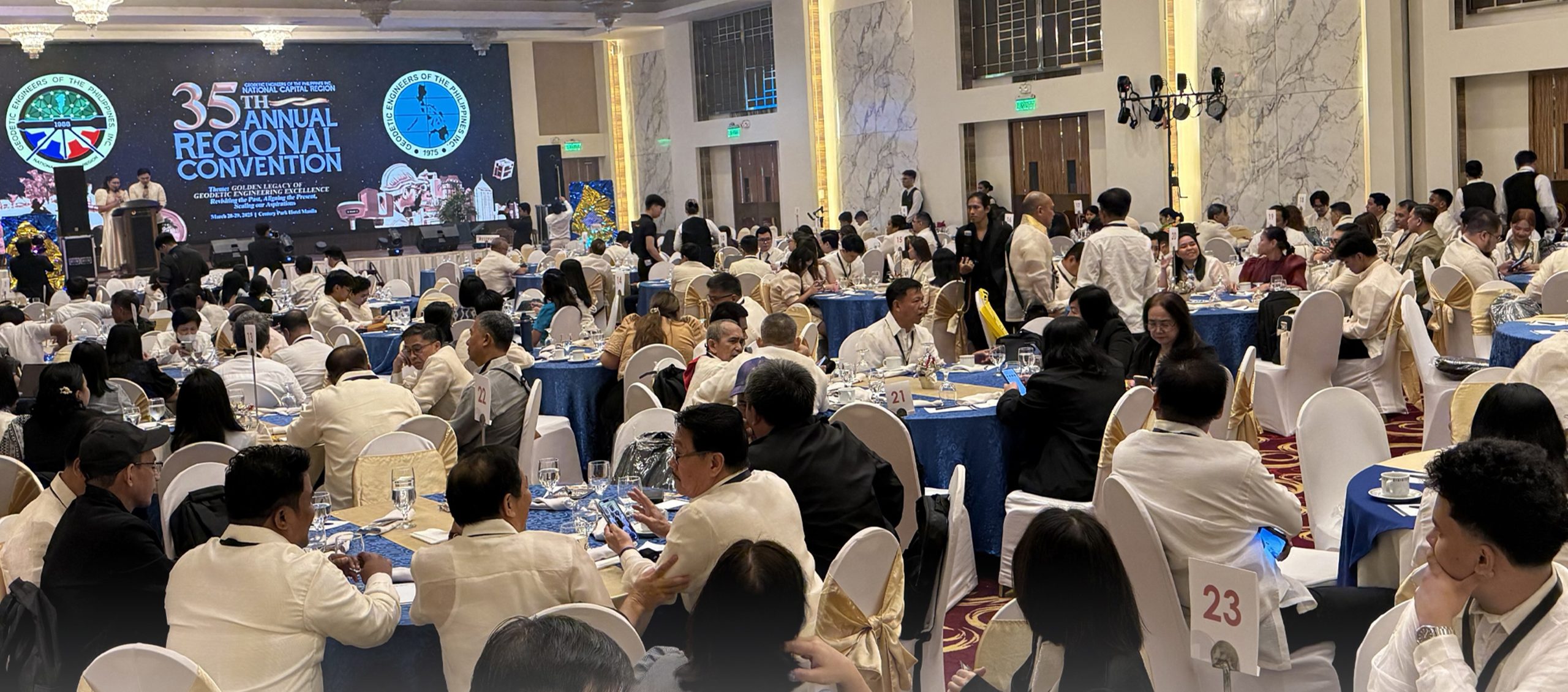
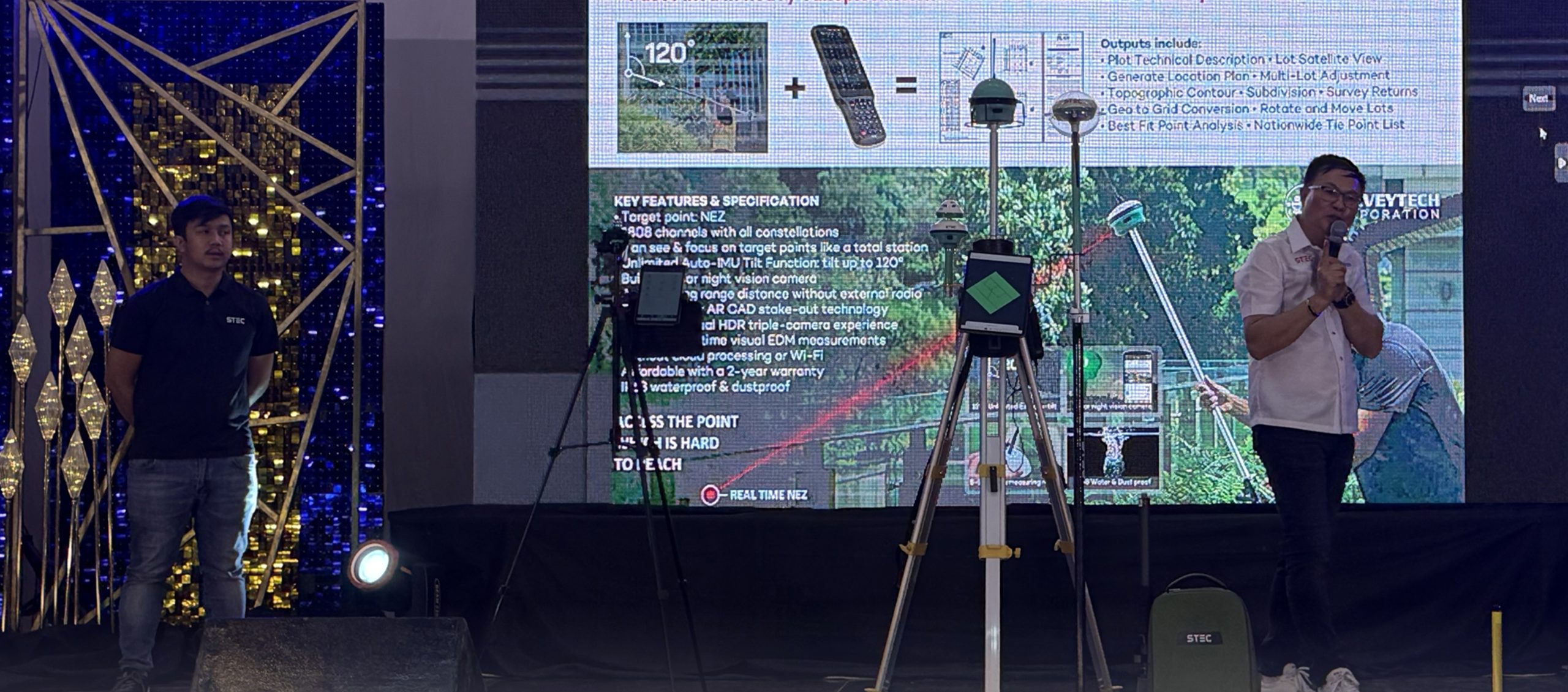
We had an amazing time showcasing our latest innovations at the GEP-NCR event! Surveyors were impressed with our cutting-edge SDi GNSS RTK …
At Philippine Gateway Hotel, Surigao City Our booth was bustling with geodetic engineers eager to experience the latest innovations in geospatial technology. …
Thank You, ENGR. LUCEL A. ESPIRITU! Your trust in choosing the STEC RTK means the world to us. Rest assured, you’re equipped …