
AiGEO Plot
No Laptop, No Limits
Let your phone handle the fieldwork
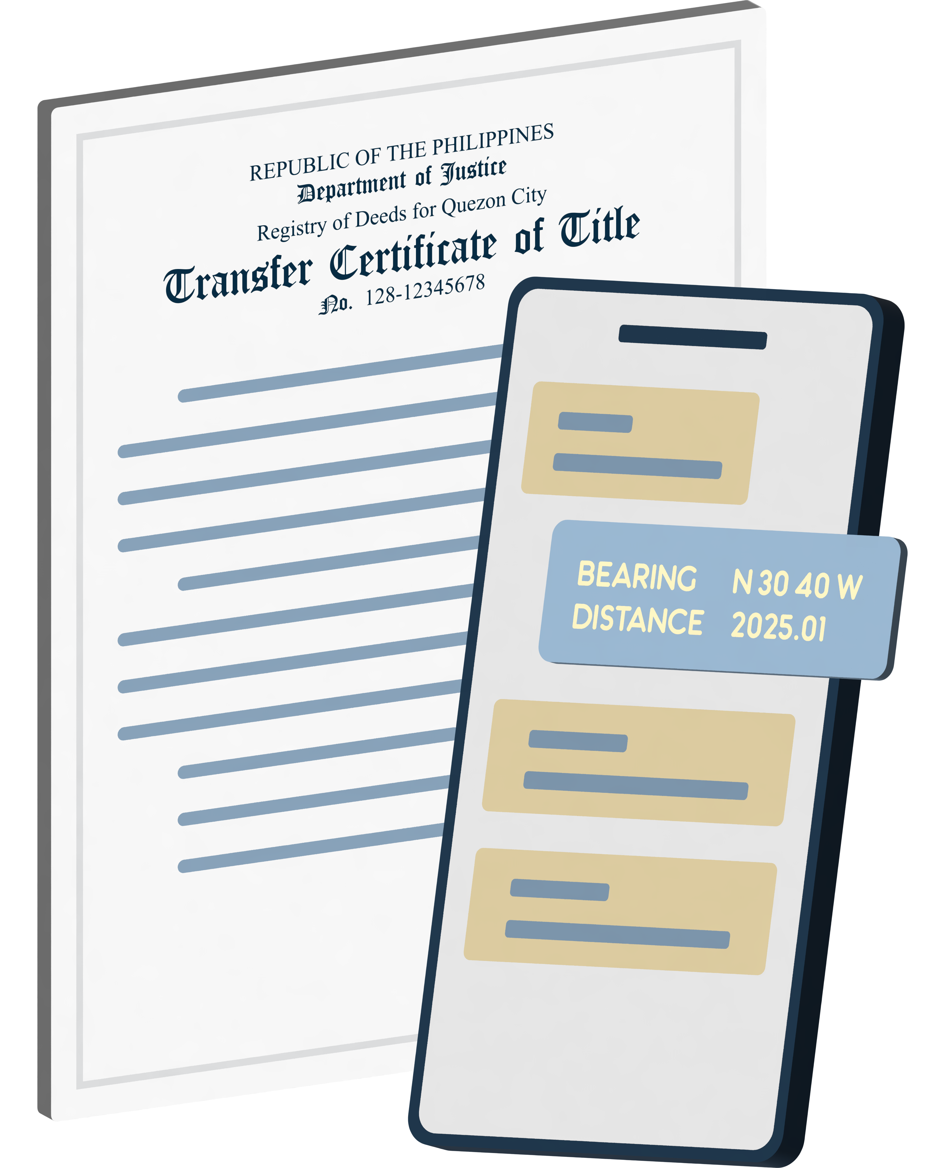
Encode Lot
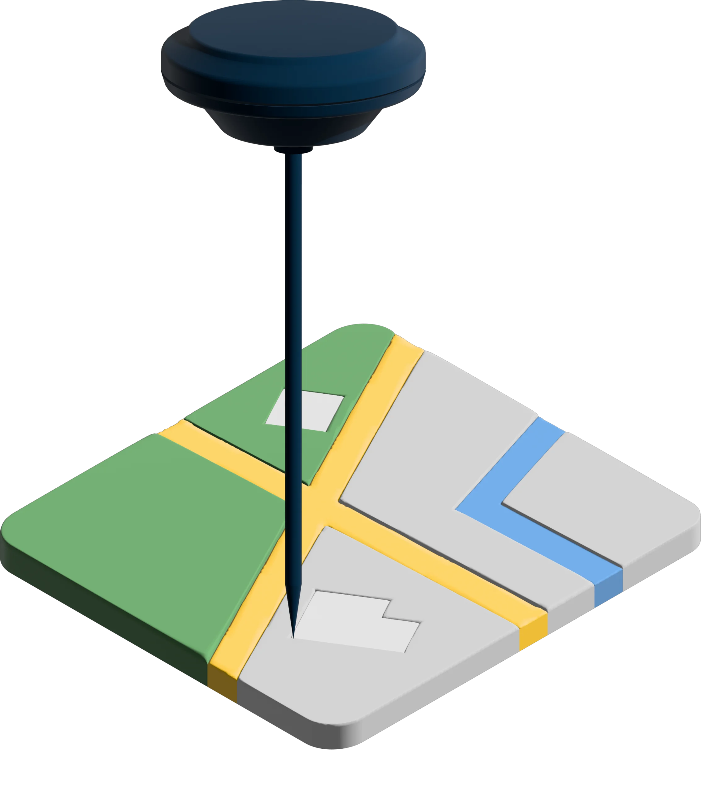
Collect Ground Points
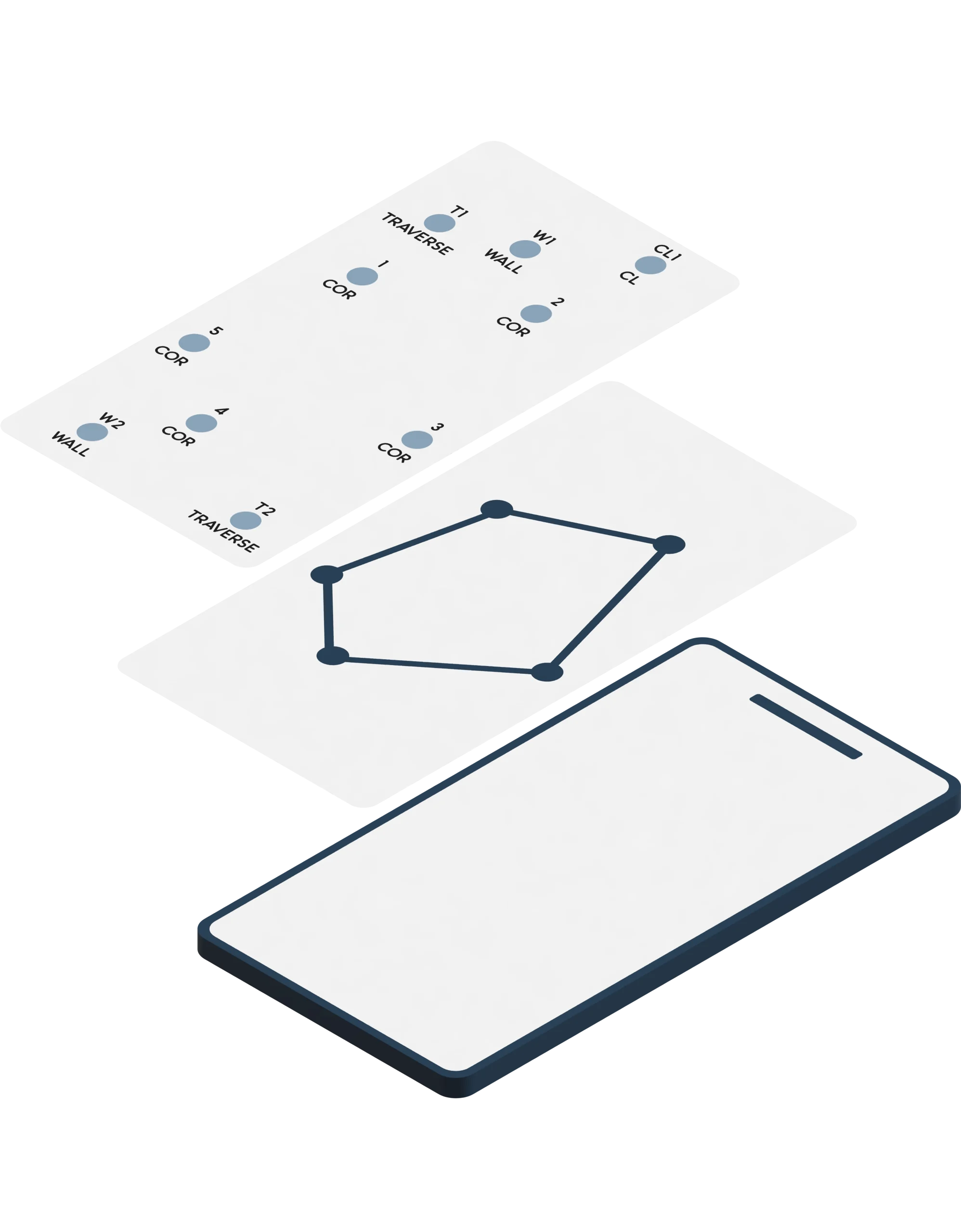
Overlay & Move Encoded Lot to Ground Points

Stake Out Other Points
AiGeo Plot
Aims to reduce the need for a laptop in the field by allowing users to plot lots from titles, data computations, and other technical description data. It also offers features for moving and rotating data, enabling users to overlay it directly with RTK or Total Station ground-collected points and conduct stakeouts – all using just a phone.
Subdivision Survey Returns
can generate survey returns for your project in word file.
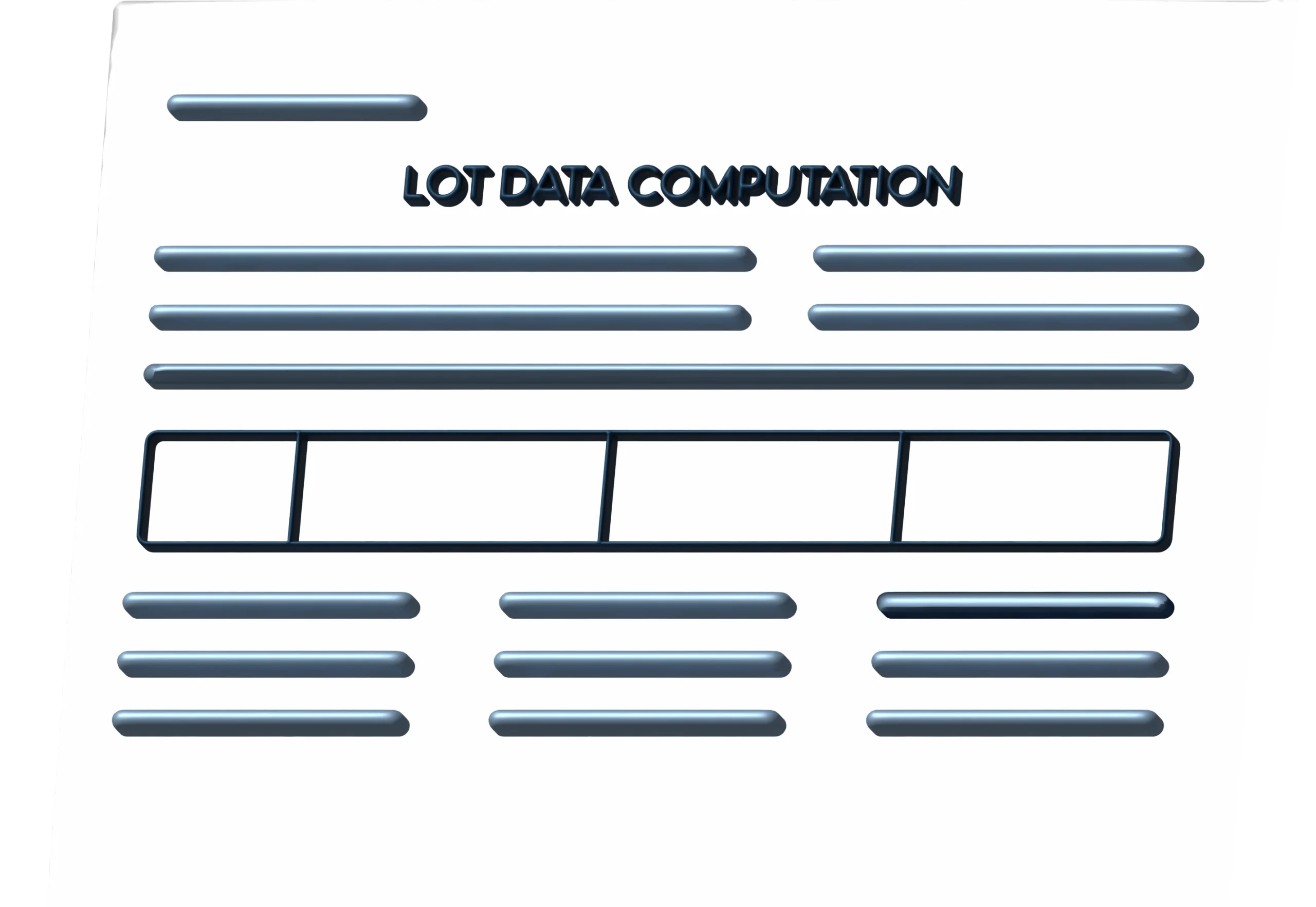
Lot Data Computation
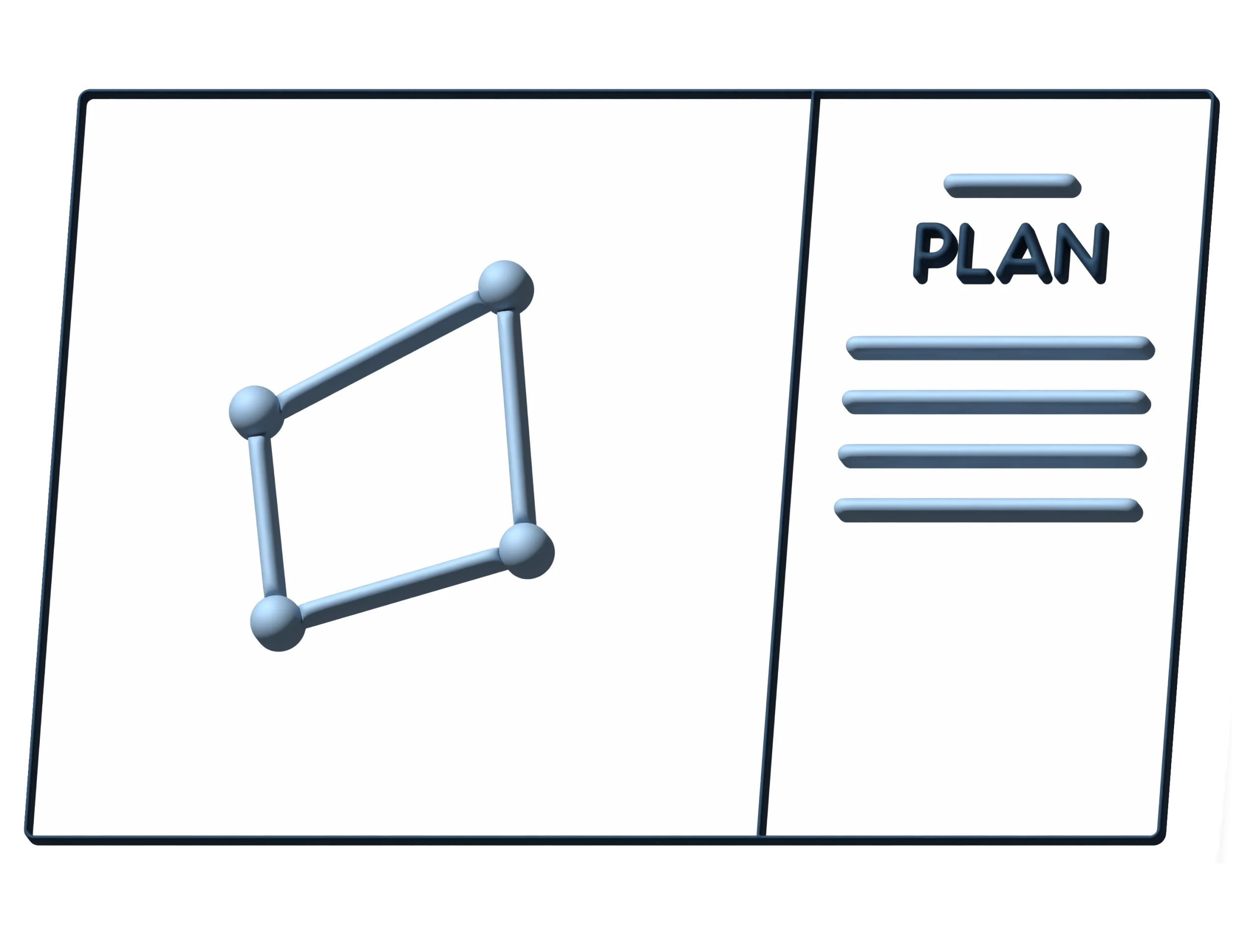
BL Form Plan
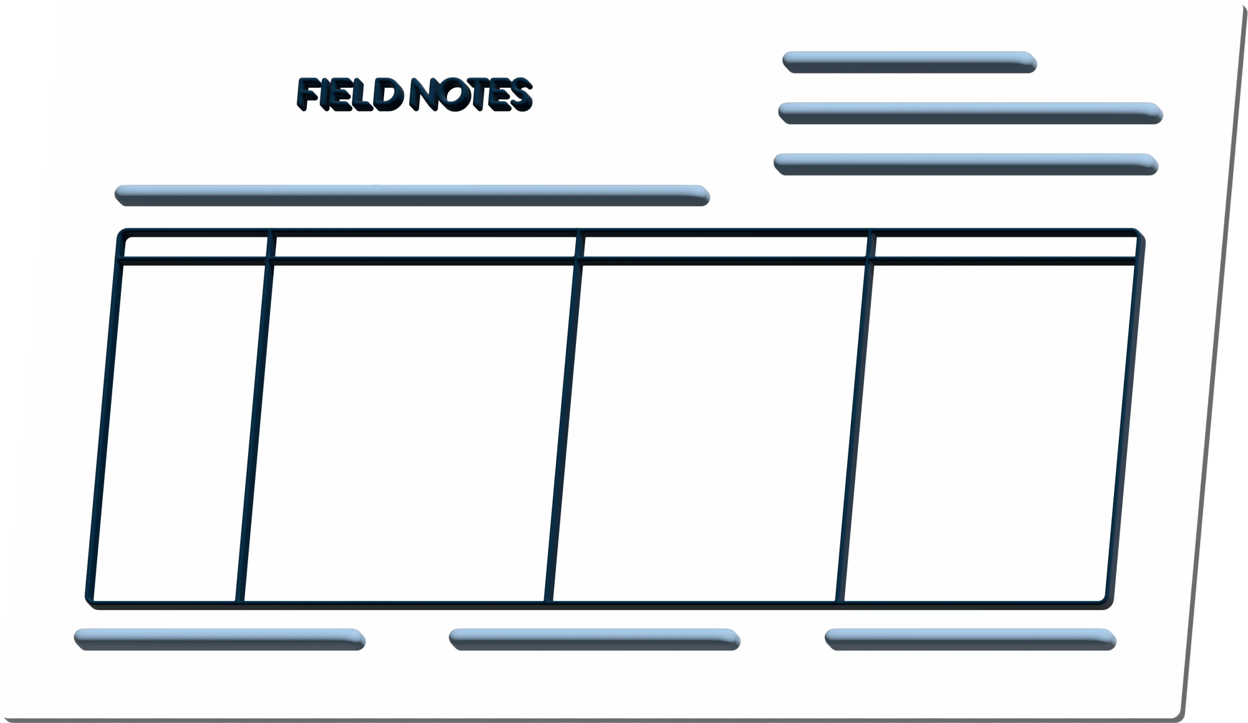
Field Notes (Cover & Inside)
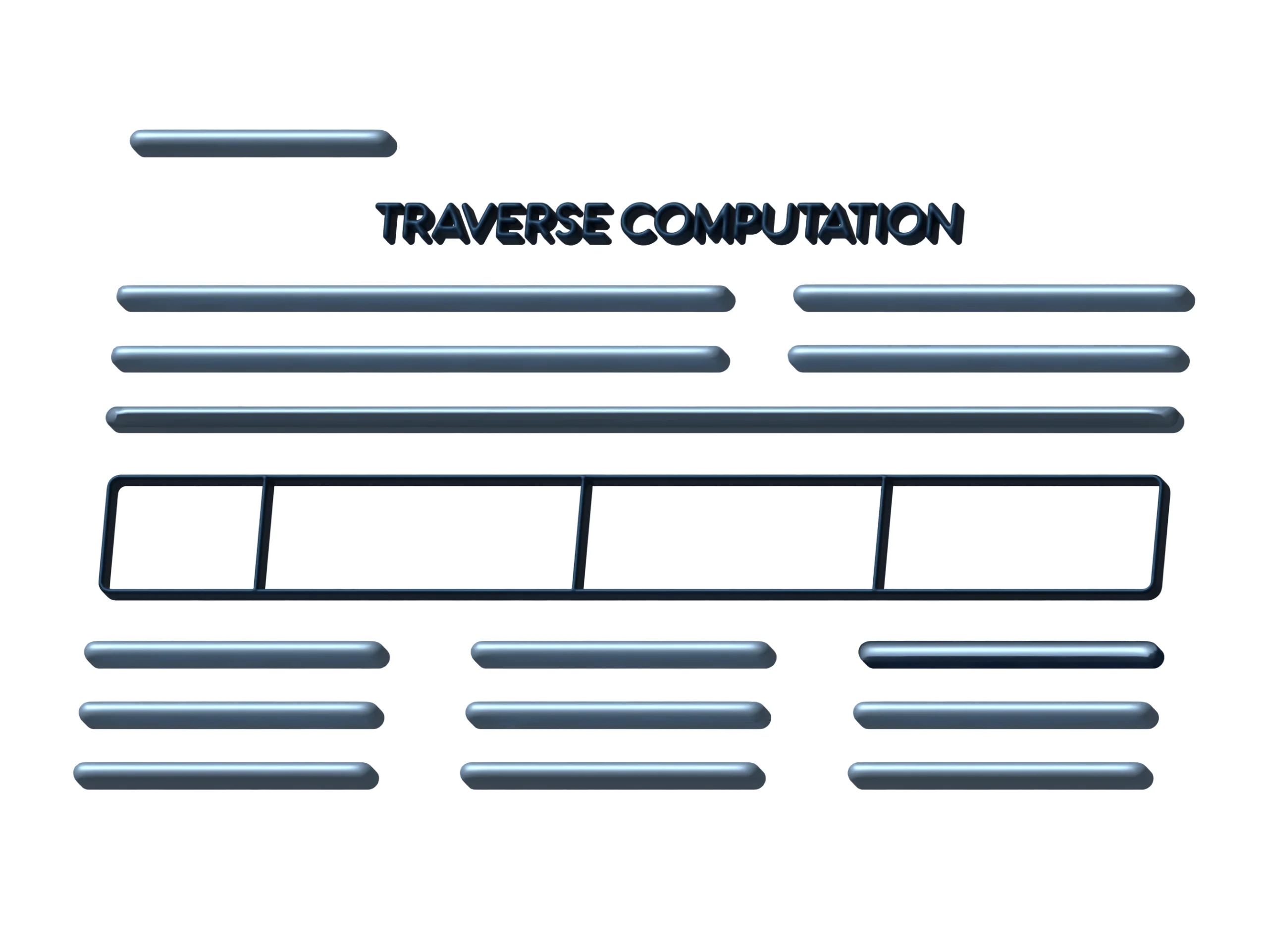
Traverse Computation
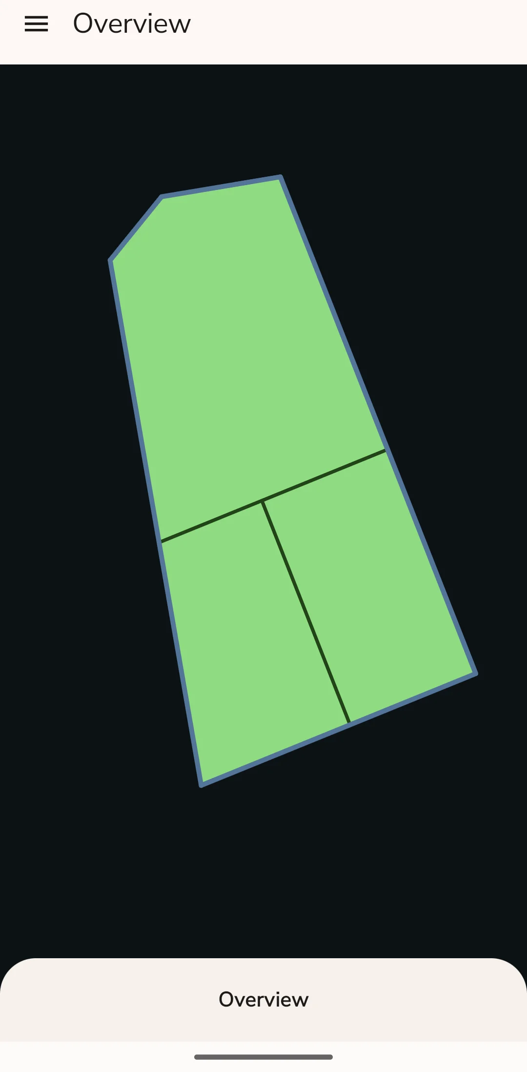
DLSD
eSurveyPlan File
Topographic Contour
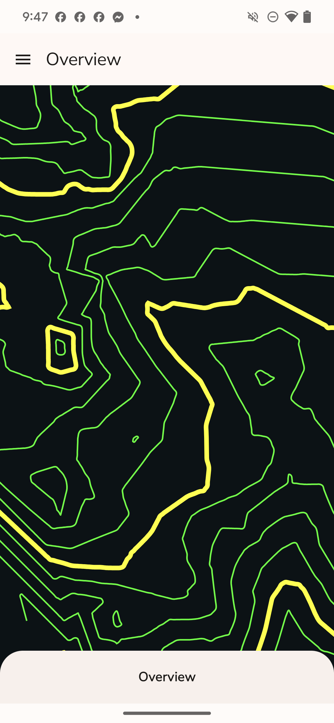
Easy workflow to generate a contour from your ground collected points from your RTK and/or Total Station.
Updates & Improvements
Free Updates
Enjoy continuous enhancement with free updates, ensuring the system stays current and evolves to meet user needs.
Tutorial
PCTech Surveys has a complete and comprehensive tutorials online, ready and availble to guide users through every feature. Ensuring an easy and intuitive experience for all.
Open for improvements
PCTech Surveys is fully functional but open for improvements, encouraging creative enhancements and suggestions to optimize user experience.
Developers listens to your concerns and add it up to the next upate so end user can use it.

