Land Surveying
Precision Beyond Boundaries!
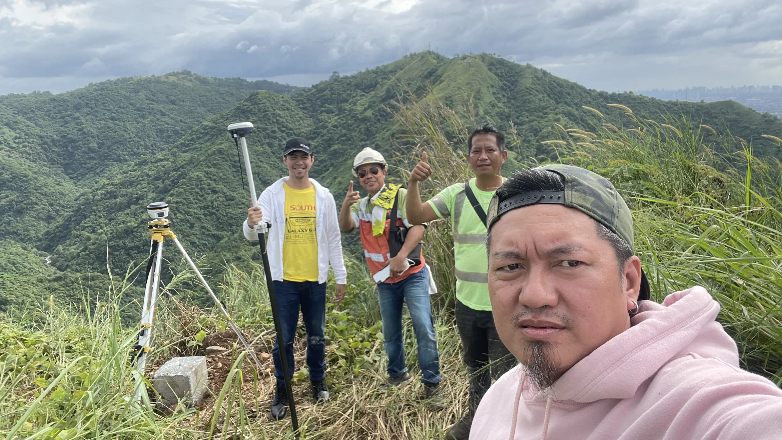
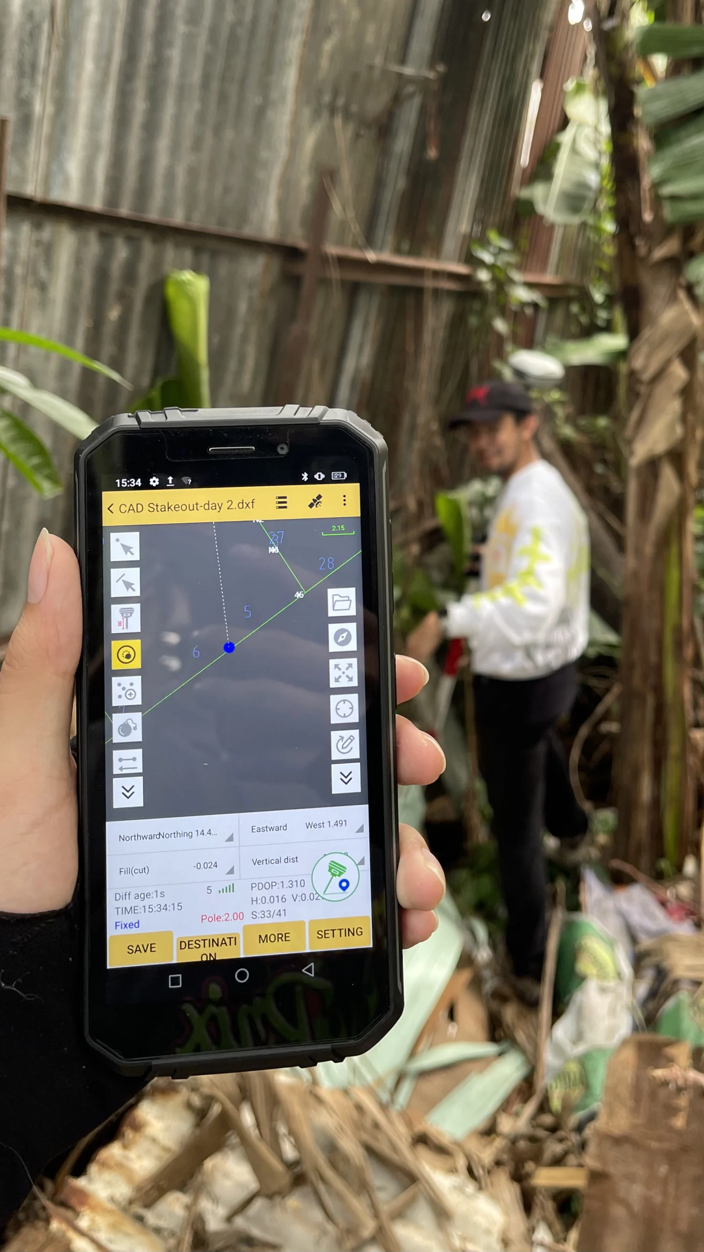
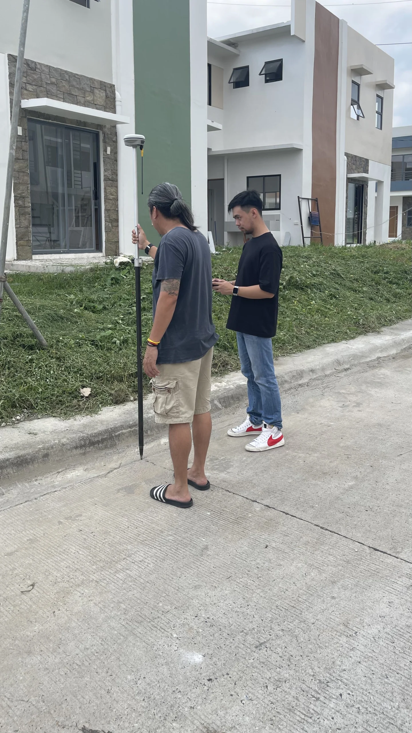
PC Surveying Services – we understand that the foundation of any successful project begins with precise and accurate land surveying. That’s why we’ve equipped our team with the most advanced surveying tools in the industry. From the unparalleled accuracy of Total Stations, and GNSS RTK to the revolutionary capabilities of LiDAR technology, we’re here to ensure your project’s foundation is solid, accurate, and reliable.
Services we offer
Elevate your project with Precision Surveying
Don’t let inaccurate data derail your project. Choose PC Surveying Services and step into the future of land surveying. Our Commitment to excellence, combined with our advanced surveying technology, makes us the perfect partner for your next project.

Contact Us Today
to discuss your project needs and discover how we can help you achieve the precision and accuracy you require.

